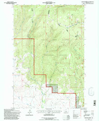
1995 Map of Hoover Spring
USGS Topo · Published 1997About this map
The Lewis and Clark National Forest spans this mid-1990s survey area, marking a significant hydrologic divide where the headwaters of two major river systems diverge. The northern drainage is defined by the South Fork Judith River and its tributaries, including the Lost Fork Judith River, while the southern slopes feed the North Fork Musselshell River. This divide is physically represented by high-altitude features like Hoover Mountain and the prominent Burnt Ridge.
Find a feature on this map
19 named features on this map. Tap any name to fly to it.
Don’t see what you’re looking for? This feature index may not catch every label — zoom into the map to look around manually.
Map Details
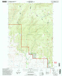
Editions of this 1995 Hoover Spring Map
2 editions found
Other maps of this area

1886 · Little Belt Mts.
USGS Topo · 1:250,000

1894 · Little Belt Mts.
USGS Topo · 1:250,000

1897 · Little Belt Mts.
USGS Topo · 1:250,000

1898 · Little Belt Mts.
USGS Topo · 1:250,000

1902 · Little Belt Mts.
USGS Topo · 1:250,000

1948 · White Sulphur Springs
USGS Topo · 1:250,000

1958 · White Sulphur Springs
USGS Topo · 1:250,000

1961 · White Sulphur Springs
USGS Topo · 1:250,000
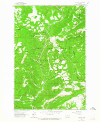
1961 · Kings Hill
USGS Topo · 1:24,000
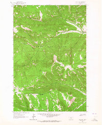
1961 · Sand Point
USGS Topo · 1:24,000