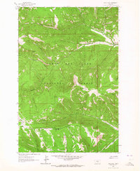
1961 Map of Sand Point
USGS Topo · Published 1964About this map
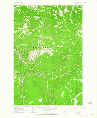
Lewis and Clark National Forest encompasses this high mountain landscape in the early 1960s, defined by the headwaters of several significant Montana waterways. The terrain is a complex network of ridges and drainages where the West Fork Judith River and Lost Fork Judith River begin their descent. Near the southern boundary, the divide is clearly marked as the Judith Basin Co Meagher Co line, separating the Judith River drainage from the Musselshell River and the North Fork Smith River. Human activity in these mountains is represented by the isolated Middle Fork Ranch and scattered extractive sites, including several Mines and Prospects located along Cleveland Creek and Prospect Ridge. This map captures a backcountry environment accessible only by a primitive network of Jeep Trails and Pack Trails crossing through areas like Ant Park and Spur Park.
Find a feature on this map
29 named features on this map. Tap any name to fly to it.
Don’t see what you’re looking for? This feature index may not catch every label — zoom into the map to look around manually.
Map Details
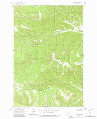
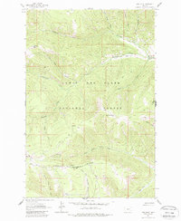
Editions of this 1961 Sand Point Map
3 editions found
Other maps of this area

1886 · Little Belt Mts.
USGS Topo · 1:250,000

1894 · Little Belt Mts.
USGS Topo · 1:250,000

1897 · Little Belt Mts.
USGS Topo · 1:250,000

1898 · Little Belt Mts.
USGS Topo · 1:250,000

1902 · Little Belt Mts.
USGS Topo · 1:250,000

1948 · White Sulphur Springs
USGS Topo · 1:250,000

1958 · White Sulphur Springs
USGS Topo · 1:250,000

1961 · White Sulphur Springs
USGS Topo · 1:250,000
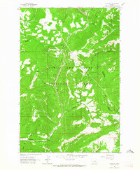
1961 · Kings Hill
USGS Topo · 1:24,000
1961 · Neihart
USGS Topo · 1:24,000