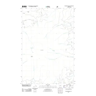
2011 Map of Boulder Baldy
USGS Topo · Published 2011About this map
Boulder Baldy and Boulder Mountain anchor this high-elevation landscape in the early 21st century, defining a complex drainage system that feeds into several prominent local basins. The map illustrates a network of mountain waterways, including the upper reaches of Boulder Creek and Duck Creek. The eastern slopes are marked by the presence of Camas Lake, which serves as a headwater for Big Camas Creek.
Find a feature on this map
41 named features on this map. Tap any name to fly to it.
Don’t see what you’re looking for? This feature index may not catch every label — zoom into the map to look around manually.
Map Details
Editions of this 2011 Boulder Baldy Map
This is the sole edition of this map. No revisions or reprints were ever made.
Other maps of this area

1886 · Fort Logan
USGS Topo · 1:250,000

1948 · White Sulphur Springs
USGS Topo · 1:250,000

1950 · Duck Creek Pass
USGS Topo · 1:62,500

1958 · White Sulphur Springs
USGS Topo · 1:250,000

1961 · White Sulphur Springs
USGS Topo · 1:250,000

1965 · White Sulphur Springs
USGS Topo · 1:250,000

1966 · Boulder Baldy
USGS Topo · 1:24,000

1966 · Diamond City
USGS Topo · 1:24,000

1966 · Whites City
USGS Topo · 1:24,000

1966 · Watson
USGS Topo · 1:24,000