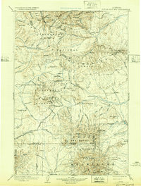
1902 Map of Little Belt Mts.
USGS Topo · Published 1932About this map
White Sulphur Springs serves as a central hub in this turn-of-the-century landscape, positioned between the high peaks of the Little Belt Mountains and the northern reaches of the Crazy Mountains. This reconnaissance survey, compiled from data gathered in the 1880s and 1890s, documents a region defined by its mineral wealth and nascent mountain settlements. The presence of the Sapphire Mine near the northern boundary and mining-oriented locations like Copperopolis and Leadboro illustrates the extractive industry that drove early development in Central Montana.
Find a feature on this map
122 named features on this map. Tap any name to fly to it.
Don’t see what you’re looking for? This feature index may not catch every label — zoom into the map to look around manually.
Map Details
Editions of this 1902 Little Belt Mts. Map
3 editions found

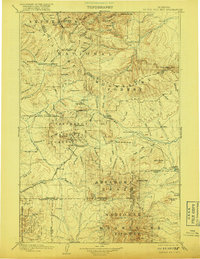
Other maps of this area

1886 · Great Falls
USGS Topo · 1:250,000

1886 · Fort Logan
USGS Topo · 1:250,000

1886 · Little Belt Mts.
USGS Topo · 1:250,000

1888 · Three Forks
USGS Topo · 1:250,000

1889 · Big Snowy Mountain
USGS Topo · 1:250,000

1890 · Fort Benton
USGS Topo · 1:250,000

1891 · Livingston
USGS Topo · 1:250,000

1891 · Big Timber
USGS Topo · 1:125,000

1892 · Fort Benton
USGS Topo · 1:250,000

1893 · Livingston
USGS Topo · 1:250,000