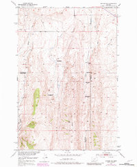
1951 Map of Sixteen NE
USGS Topo · Published 1981About this map
Campbell Ranch and Potter Ranch occupy the high Montana rangeland where Meagher, Gallatin, and Park counties meet. This survey, conducted as part of the Missouri River Basin development program, captures a landscape in transition as early 20th-century homesteads were consolidated or left behind. The western slopes of Elk Ridge are marked by several sites including the Heath Ranch, Sunnyside Ranch, and McMurdo Ranch, all identified as abandoned by the mid-century field check. Traces of early industrial exploration are also evident, such as an Oil Well located near the southern boundary. Drainage patterns are defined by the Middle Fork Sixteenmile Creek and its tributaries like Meadow Creek and Lost Creek, illustrating the remote and sparse character of this ranching country.
Find a feature on this map
14 named features on this map. Tap any name to fly to it.
Don’t see what you’re looking for? This feature index may not catch every label — zoom into the map to look around manually.
Map Details
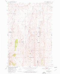
Editions of this 1951 Sixteen NE Map
3 editions found
Other maps of this area

1886 · Little Belt Mts.
USGS Topo · 1:250,000

1894 · Little Belt Mts.
USGS Topo · 1:250,000

1897 · Little Belt Mts.
USGS Topo · 1:250,000

1898 · Little Belt Mts.
USGS Topo · 1:250,000

1902 · Little Belt Mts.
USGS Topo · 1:250,000

1948 · White Sulphur Springs
USGS Topo · 1:250,000

1948 · Sixteen
USGS Topo · 1:24,000

1951 · Sixteen NE
USGS Topo · 1:24,000
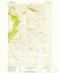
1951 · Wallrock
USGS Topo · 1:24,000

1951 · Hamen
USGS Topo · 1:24,000