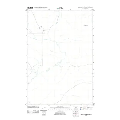
2011 Map of Black Butte Mountain
USGS Topo · Published 2011About this map
Black Butte Mountain anchors the high ground in this section of Meagher County, where the landscape is defined by the winding drainages of Battle Creek and its many tributaries. In the early 21st century, the area maintains its ranching character, centered on established homesteads such as the A-C Ranch, J Stewart Ranch, and Prescott Ranch. These family holdings are connected by a network of rural routes including Schendel Rd and Battle Creek Rd, tracing the natural contours of the valley floors.
Find a feature on this map
15 named features on this map. Tap any name to fly to it.
Don’t see what you’re looking for? This feature index may not catch every label — zoom into the map to look around manually.
Map Details
Editions of this 2011 Black Butte Mountain Map
This is the sole edition of this map. No revisions or reprints were ever made.
Other maps of this area
1886 · Fort Logan
USGS Topo · 1:250,000
1886 · Little Belt Mts.
USGS Topo · 1:250,000
1894 · Little Belt Mts.
USGS Topo · 1:250,000
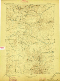
1897 · Little Belt Mts.
USGS Topo · 1:250,000
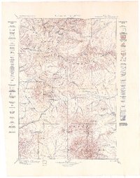
1898 · Little Belt Mts.
USGS Topo · 1:250,000
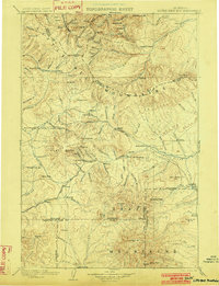
1902 · Little Belt Mts.
USGS Topo · 1:250,000
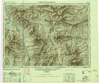
1948 · White Sulphur Springs
USGS Topo · 1:250,000
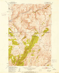
1948 · Sixteen
USGS Topo · 1:24,000
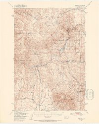
1949 · Maudlow
USGS Topo · 1:62,500
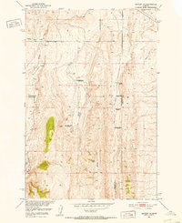
1951 · Sixteen NE
USGS Topo · 1:24,000