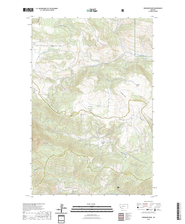
2024 Map of Snedaker Basin
USGS Topo · Published 2024About this map
The Big Belt Mountains dominate this high-altitude landscape where Helena National Forest spans the junction of Meagher, Lewis and Clark, and Broadwater counties. The drainage patterns reflect a complex topography of ridges and basins, with waters from Rock Creek and Trout Creek carving deep paths through the terrain. Evidence of the region's mining and prospecting history is found in place names such as Vigilante Gulch, which sits adjacent to Hanging Valley. Transport through these mountains relies on specialized routes like Sunshine Basin Rd and Magpie Gulch Rd, connecting isolated depressions like Snedaker Basin and Sunshine Basin. The map captures a protected wilderness area defined by the Snedaker Divide and the steep walls of Bluegill Canyon, providing a clear record of the watershed and forest boundaries.
Find a feature on this map
28 named features on this map. Tap any name to fly to it.
Don’t see what you’re looking for? This feature index may not catch every label — zoom into the map to look around manually.
Map Details
Editions of this 2024 Snedaker Basin Map
This is the sole edition of this map. No revisions or reprints were ever made.
Other maps of this area

1886 · Fort Logan
USGS Topo · 1:250,000

1948 · White Sulphur Springs
USGS Topo · 1:250,000

1950 · Canyon Ferry
USGS Topo · 1:62,500

1958 · White Sulphur Springs
USGS Topo · 1:250,000

1961 · White Sulphur Springs
USGS Topo · 1:250,000

1962 · Hogback Mountain
USGS Topo · 1:24,000

1962 · B K Ranch
USGS Topo · 1:24,000
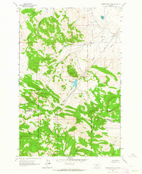
1962 · Middle Creek Lake
USGS Topo · 1:24,000

1962 · Snedaker Basin
USGS Topo · 1:24,000

1965 · White Sulphur Springs
USGS Topo · 1:250,000
Featured Places
- Vigilante Overlook, MT
- Lewis and Clark County, MT
- Broadwater County, MT
- Meagher County, MT
- United States