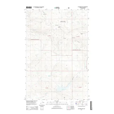
2014 Map of Coxcombe Butte
USGS Topo · Published 2014About this map
Coxcombe Butte stands as a prominent landmark within the Lewis & Clark National Forest, presiding over a landscape defined by sharp ridges and deep drainage systems. This 2014 survey captures the intricate topography of Meagher County, where elevation changes are marked by features like Abbott Ridge and the Park Hills. The area is a vital watershed, feeding numerous springs such as Sage Spring and Butterfly Spring, which flow into the network of gulches including Miller Gulch and Thornquist Gulch.
Find a feature on this map
26 named features on this map. Tap any name to fly to it.
Don’t see what you’re looking for? This feature index may not catch every label — zoom into the map to look around manually.
Map Details
Editions of this 2014 Coxcombe Butte Map
This is the sole edition of this map. No revisions or reprints were ever made.
Other maps of this area

1886 · Fort Logan
USGS Topo · 1:250,000

1886 · Little Belt Mts.
USGS Topo · 1:250,000

1894 · Little Belt Mts.
USGS Topo · 1:250,000

1897 · Little Belt Mts.
USGS Topo · 1:250,000

1898 · Little Belt Mts.
USGS Topo · 1:250,000

1902 · Little Belt Mts.
USGS Topo · 1:250,000

1948 · White Sulphur Springs
USGS Topo · 1:250,000

1958 · White Sulphur Springs
USGS Topo · 1:250,000

1961 · White Sulphur Springs
USGS Topo · 1:250,000

1965 · White Sulphur Springs
USGS Topo · 1:250,000