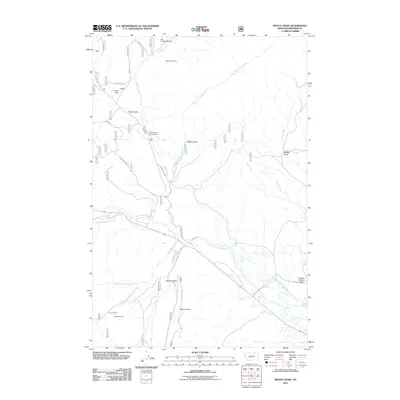
2011 Map of Mount Howe
USGS Topo · Published 2011About this map
Mount Howe rises as a prominent landmark in this section of Meagher County, overlooking a landscape defined by ranching infrastructure and mineral exploration. The drainage of the North Fork Musselshell River dominates the southern half of the map, supported by the Mill Ditch irrigation feature. Evidence of the region's mining history is scattered throughout the hills, including the Clara Burton Mine and BCE Number 3959 Mine to the north, while the Lou Ire Mine and Moonlight Mine sit near the western slopes of the central peak. Transportation in this high-country area is facilitated by both local routes like Spring Creek Rd and private aviation via the Holliday Landing Strip. The map also details recreational and management boundaries such as the Spring Creek Campground and various gulches like Baxter Gulch and Woods Gulch that carve through the upland terrain near Cooks Flat.
Find a feature on this map
29 named features on this map. Tap any name to fly to it.
Don’t see what you’re looking for? This feature index may not catch every label — zoom into the map to look around manually.
Map Details
Editions of this 2011 Mount Howe Map
This is the sole edition of this map. No revisions or reprints were ever made.
Other maps of this area

1886 · Little Belt Mts.
USGS Topo · 1:250,000

1894 · Little Belt Mts.
USGS Topo · 1:250,000

1897 · Little Belt Mts.
USGS Topo · 1:250,000

1898 · Little Belt Mts.
USGS Topo · 1:250,000

1902 · Little Belt Mts.
USGS Topo · 1:250,000

1948 · White Sulphur Springs
USGS Topo · 1:250,000

1958 · White Sulphur Springs
USGS Topo · 1:250,000

1961 · White Sulphur Springs
USGS Topo · 1:250,000

1965 · White Sulphur Springs
USGS Topo · 1:250,000
1972 · Daisy Peak
USGS Topo · 1:24,000