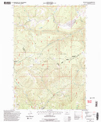
1995 Map of Russian Flat
USGS Topo · Published 1997About this map
Little Belt Mountains dominate this high-country landscape along the border of Judith Basin and Meagher counties. This 1990s revision by the Forest Service highlights a region defined by its timber and mining history, centered on the broad, elevated plateau of Russian Flat. The drainage patterns are distinct, with the headwaters of the South Fork Judith River and the Musselshell River carving deep into the terrain.
Find a feature on this map
33 named features on this map. Tap any name to fly to it.
Don’t see what you’re looking for? This feature index may not catch every label — zoom into the map to look around manually.
Map Details
Editions of this 1995 Russian Flat Map
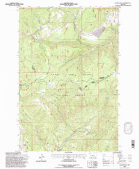
2 editions found
Other maps of this area

1886 · Little Belt Mts.
USGS Topo · 1:250,000

1894 · Little Belt Mts.
USGS Topo · 1:250,000

1897 · Little Belt Mts.
USGS Topo · 1:250,000

1898 · Little Belt Mts.
USGS Topo · 1:250,000

1902 · Little Belt Mts.
USGS Topo · 1:250,000

1948 · White Sulphur Springs
USGS Topo · 1:250,000

1958 · White Sulphur Springs
USGS Topo · 1:250,000

1961 · White Sulphur Springs
USGS Topo · 1:250,000
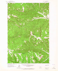
1961 · Sand Point
USGS Topo · 1:24,000
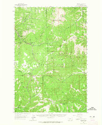
1961 · Neihart
USGS Topo · 1:62,500