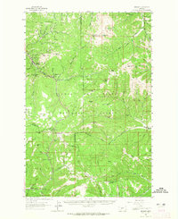
1961 Map of Neihart
USGS Topo · Published 1965About this map
Neihart serves as the focal point for this high-elevation area, where mining and mountain recreation converge in the Lewis and Clark National Forest. The landscape is dominated by the legacy of extraction, with numerous sites including the Silver Dyke Mine, Cornucopia Mine, and the Broadwater Mines scattered along the slopes of Neihart Baldy and Pioneer Ridge. The presence of a Ski Lift near Kings Hill Pass and campgrounds like Kings Hill Campground marks the mid-century transition toward alpine tourism.
Find a feature on this map
86 named features on this map. Tap any name to fly to it.
Don’t see what you’re looking for? This feature index may not catch every label — zoom into the map to look around manually.
Map Details
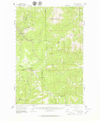
Editions of this 1961 Neihart Map
2 editions found
Other maps of this area

1886 · Little Belt Mts.
USGS Topo · 1:250,000

1890 · Fort Benton
USGS Topo · 1:250,000

1892 · Fort Benton
USGS Topo · 1:250,000

1894 · Little Belt Mts.
USGS Topo · 1:250,000

1897 · Fort Benton
USGS Topo · 1:250,000

1897 · Little Belt Mts.
USGS Topo · 1:250,000

1898 · Little Belt Mts.
USGS Topo · 1:250,000

1902 · Little Belt Mts.
USGS Topo · 1:250,000

1948 · White Sulphur Springs
USGS Topo · 1:250,000

1954 · Great Falls
USGS Topo · 1:250,000