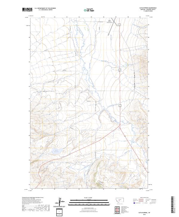
2024 Map of Catlin Spring
USGS Topo · Published 2024About this map
Catlin Spring and the South Fork Smith River define the hydrography of this Meagher County landscape, where the high plains meet the headwaters of the Missouri River system. The terrain is a network of drainage basins, with Potter Creek and Fords Creek cutting through the northern reaches, while Cottonwood Creek and Hussey Creek flow toward the central valley. The human footprint is oriented around ranching and transport, marked by local corridors like Feddes Rd and Rostad Rd. The presence of the White Sulphur Springs Airport near the northern boundary and the Wertz Reservoir to the southwest highlights the importance of water management and regional connectivity in this portion of Montana. The map reflects a modern rural environment where historic property lines from the Public Land Survey System still dictate the alignment of roads such as Sixteen Mile Rd.
Find a feature on this map
24 named features on this map. Tap any name to fly to it.
Don’t see what you’re looking for? This feature index may not catch every label — zoom into the map to look around manually.
Map Details
Editions of this 2024 Catlin Spring Map
This is the sole edition of this map. No revisions or reprints were ever made.
Other maps of this area

1886 · Fort Logan
USGS Topo · 1:250,000

1886 · Little Belt Mts.
USGS Topo · 1:250,000

1894 · Little Belt Mts.
USGS Topo · 1:250,000

1897 · Little Belt Mts.
USGS Topo · 1:250,000

1898 · Little Belt Mts.
USGS Topo · 1:250,000

1902 · Little Belt Mts.
USGS Topo · 1:250,000

1948 · White Sulphur Springs
USGS Topo · 1:250,000
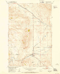
1951 · Ringling
USGS Topo · 1:24,000
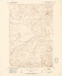
1951 · Black Butte Mountain
USGS Topo · 1:24,000

1958 · White Sulphur Springs
USGS Topo · 1:250,000