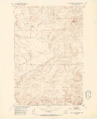
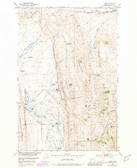
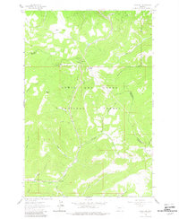
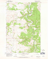
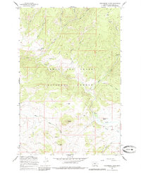
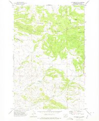
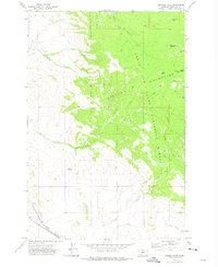
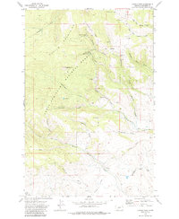
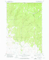
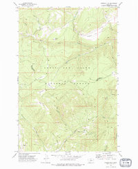
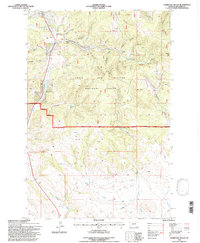
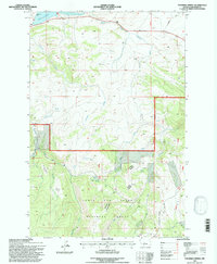
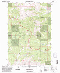
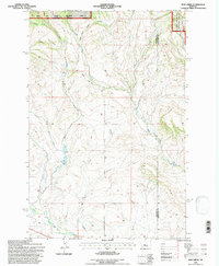
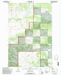
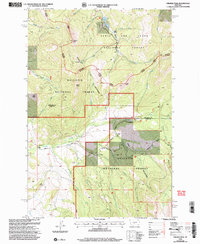
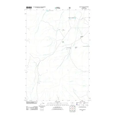
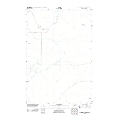
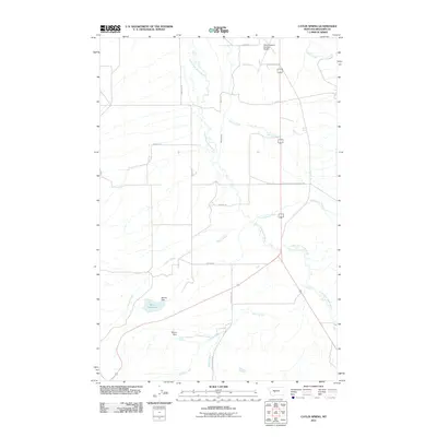
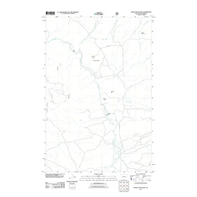
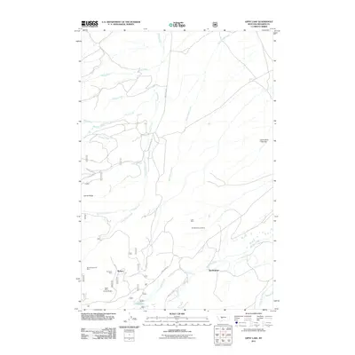
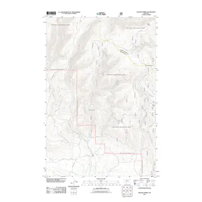
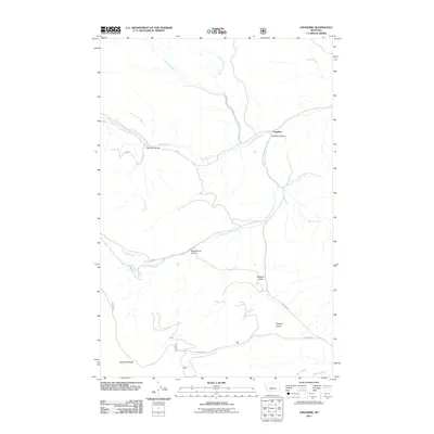
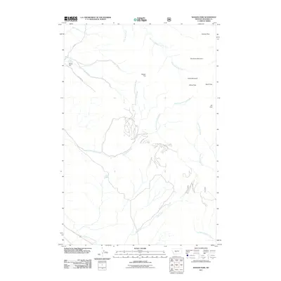
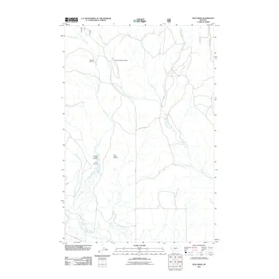
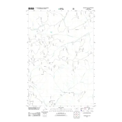
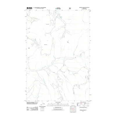
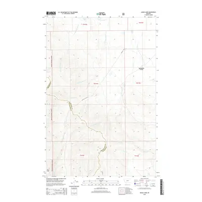
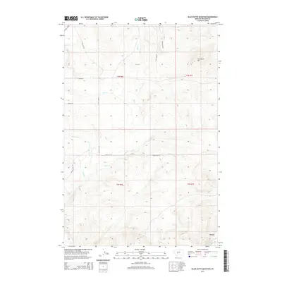
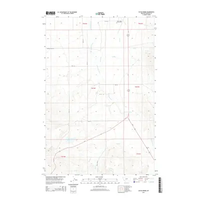
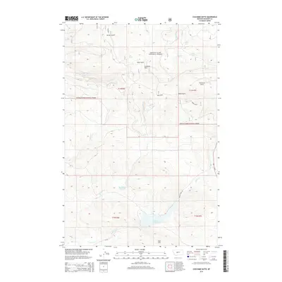
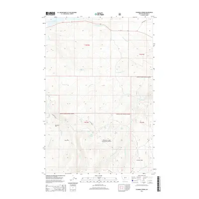
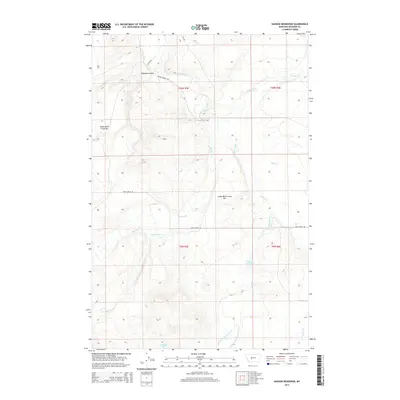
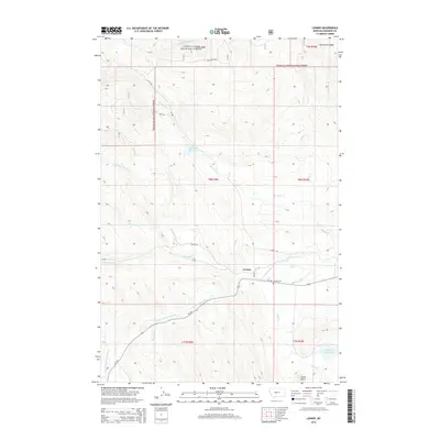
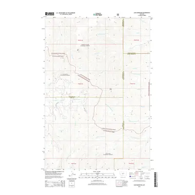
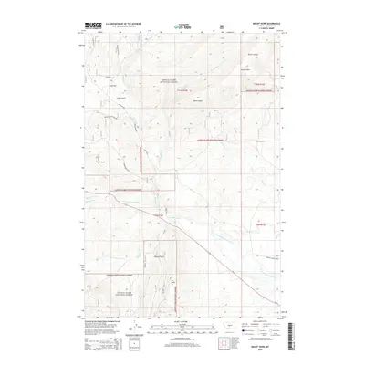
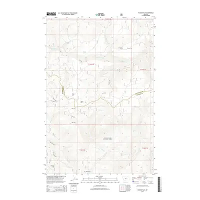
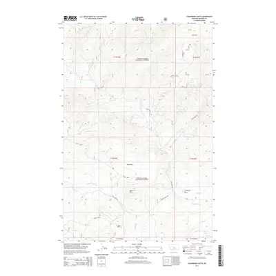
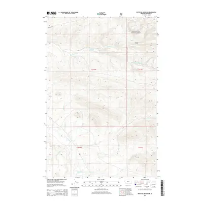
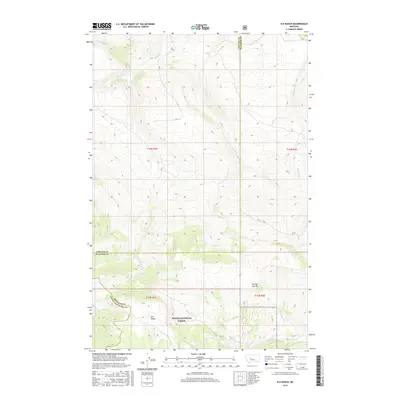
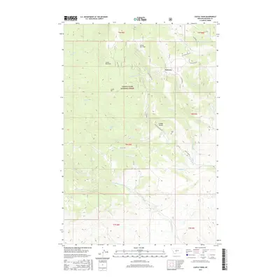
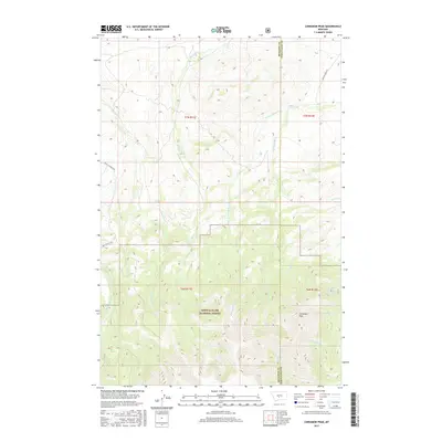
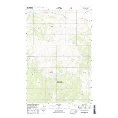
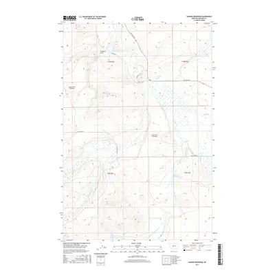
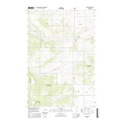
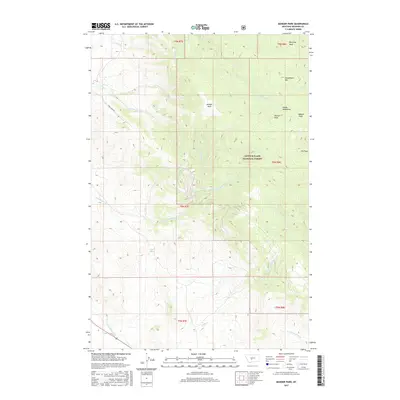
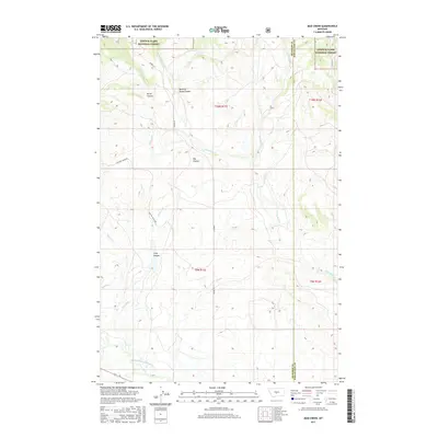
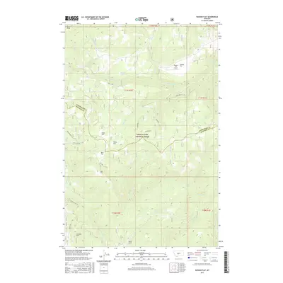
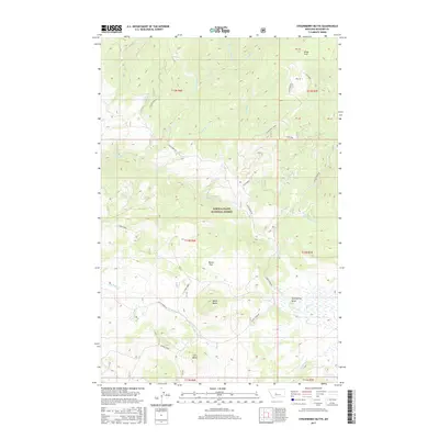
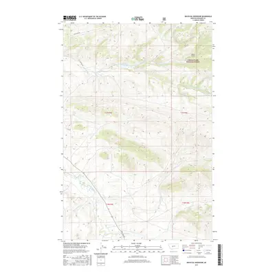
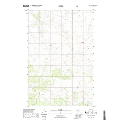
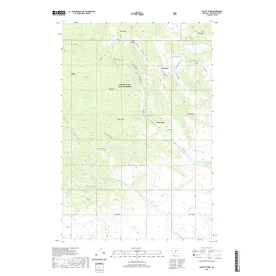
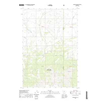
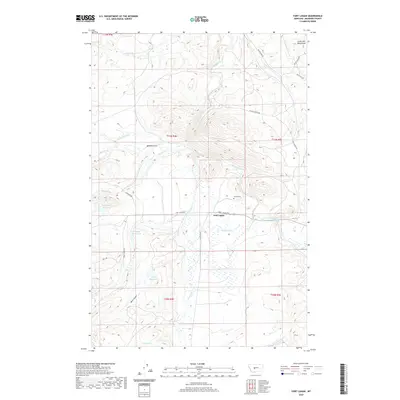
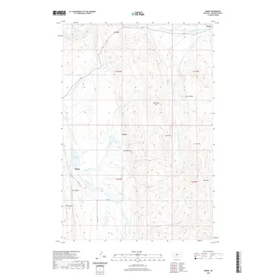
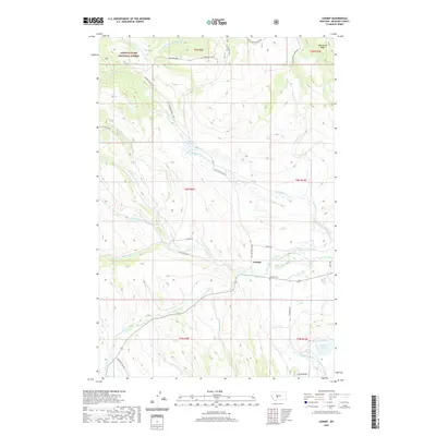
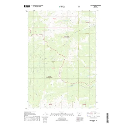
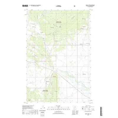
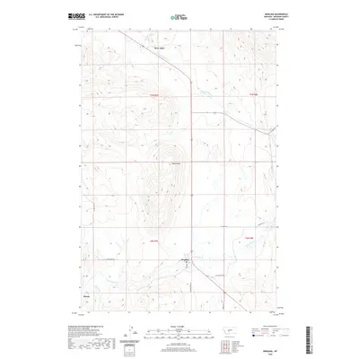
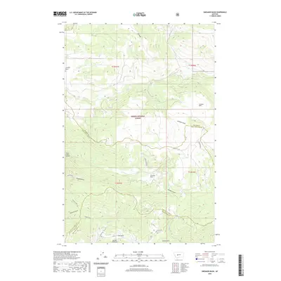
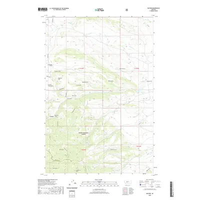
1951 Map of Black Butte Mountain
USGS Topo · Published 1953About this map
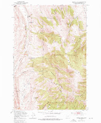
The Bureau of Reclamation and Geological Survey collaborated on this 1950s study as part of the development of the Missouri River Basin. The landscape is dominated by Black Butte Mountain, with the surrounding drainage patterns defined by the winding course of Sixteenmile Creek and its many tributaries, including Battle Creek and Mike Day Creek. This era of Montana ranching is represented by family holdings such as the J Stewart Ranch and Prescott Ranch, which served as local landmarks in the isolated terrain of Meagher County. Evidence of earlier industrial efforts appears near the headwaters of Battle Creek, where a Copper Mine is noted as inactive. The mapping provides a precise record of the road networks and water resources essential to the livestock and mining economy of the early postwar period.
Find a feature on this map
9 named features on this map. Tap any name to fly to it.
Don’t see what you’re looking for? This feature index may not catch every label — zoom into the map to look around manually.
Map Details
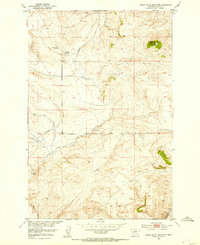
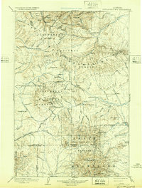
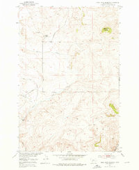
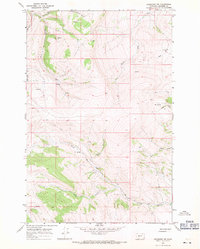
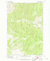
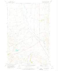
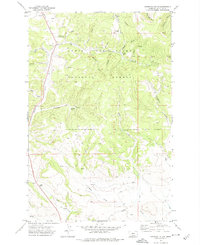
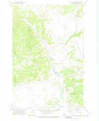
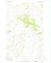
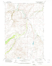
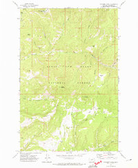
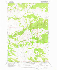
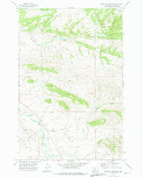
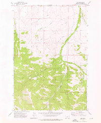
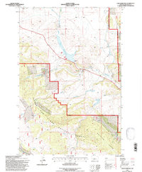
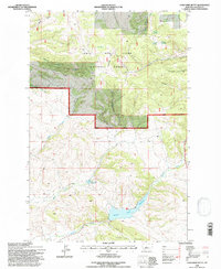
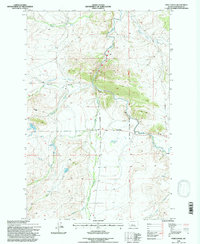
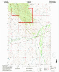
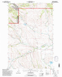
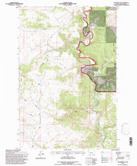
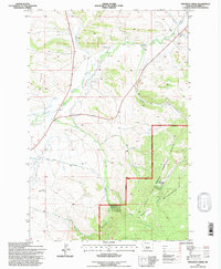
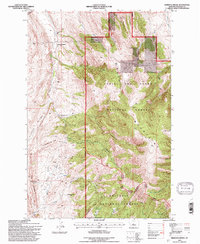
Editions of this 1951 Black Butte Mountain Map
3 editions found
Historical Maps of Moyne Through Time
319 maps found

1886 Little Belt Mts.
Meagher County, MT

1894 Little Belt Mts.
Meagher County, MT

1897 Little Belt Mts.
Meagher County, MT

1898 Little Belt Mts.
Meagher County, MT
1902 Little Belt Mts.
Meagher County, MT
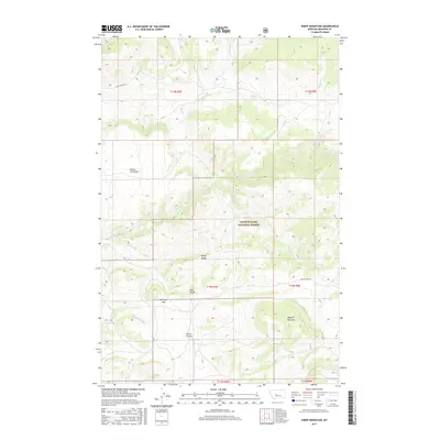
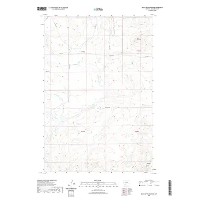
1951 Black Butte Mountain
Meagher County, MT
1951 Hamen
Meagher County, MT
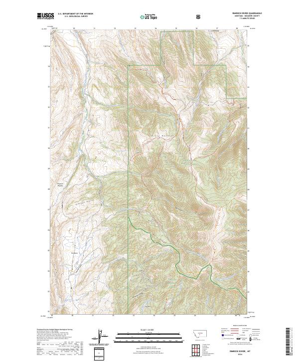
1951 Rimrock Divide
Meagher County, MT
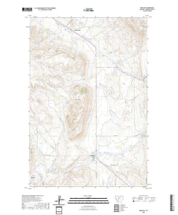
1951 Ringling
Meagher County, MT
1951 Sixteen NE
Meagher County, MT
1961 Kings Hill
Meagher County, MT
1962 B K Ranch
Meagher County, MT
1962 Snedaker Basin
Meagher County, MT

1966 Boulder Baldy
Meagher County, MT

1966 Ellis Canyon
Meagher County, MT
1966 Lingshire
Meagher County, MT
1966 Lingshire NE
Meagher County, MT
1966 Lingshire NW
Meagher County, MT

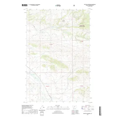
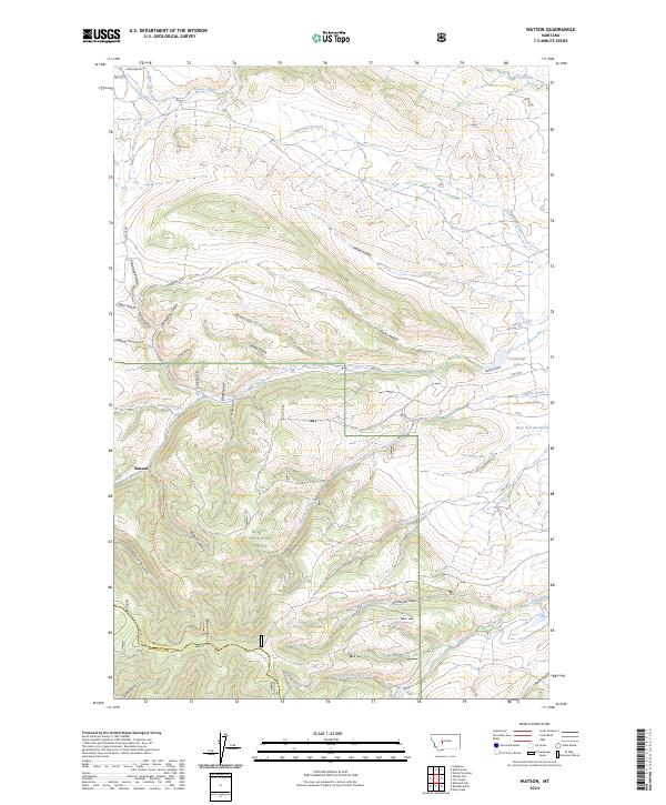
1966 Watson
Meagher County, MT
1967 Bubbling Springs
Meagher County, MT
1967 Moose Mountain
Meagher County, MT
1967 Strawberry Butte
Meagher County, MT

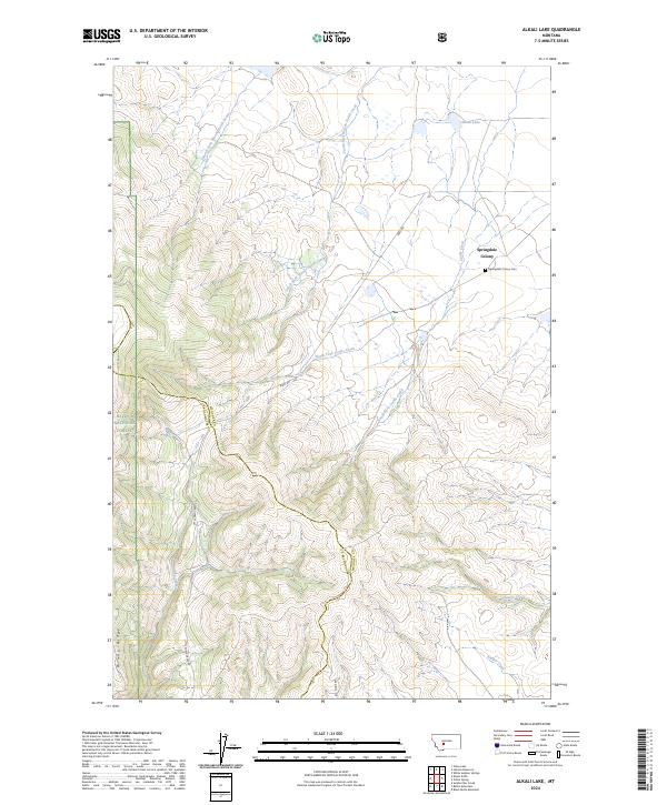
1971 Alkali Lake
Meagher County, MT
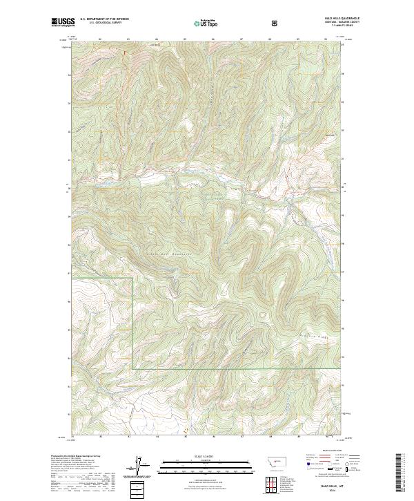
1971 Bald Hills
Meagher County, MT

1971 Battle Mountain
Meagher County, MT
1971 Catlin Spring
Meagher County, MT
1971 Charcoal Gulch
Meagher County, MT
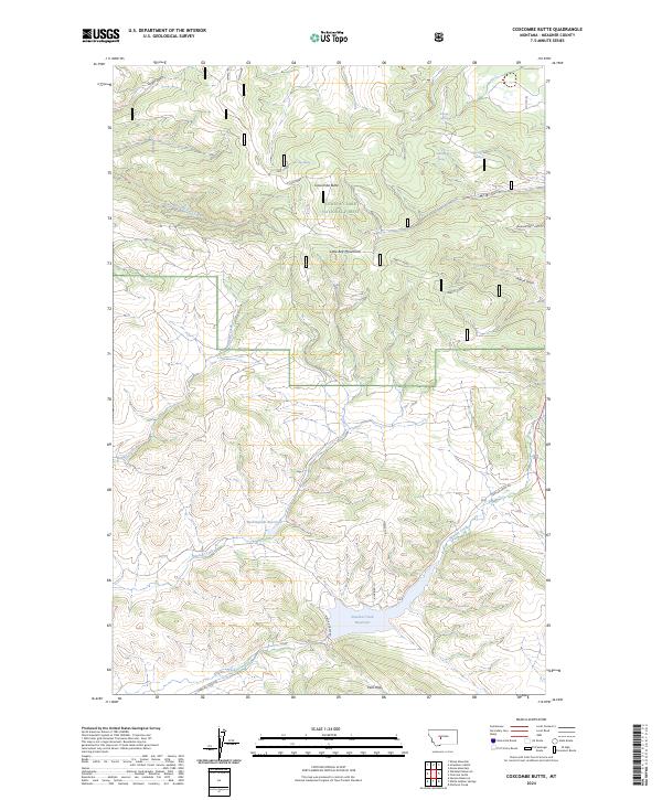
1971 Coxcombe Butte
Meagher County, MT
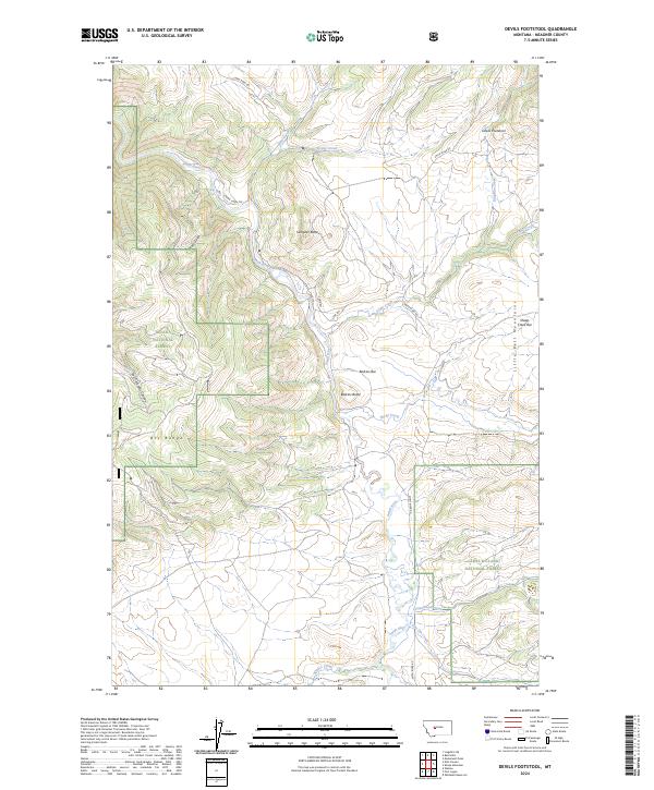
1971 Devils Footstool
Meagher County, MT
1971 Fort Logan
Meagher County, MT

1971 Gipsy Lake
Meagher County, MT
1971 Hanson Reservoir
Meagher County, MT
1971 Manger Park
Meagher County, MT
1971 Monument Peak
Meagher County, MT
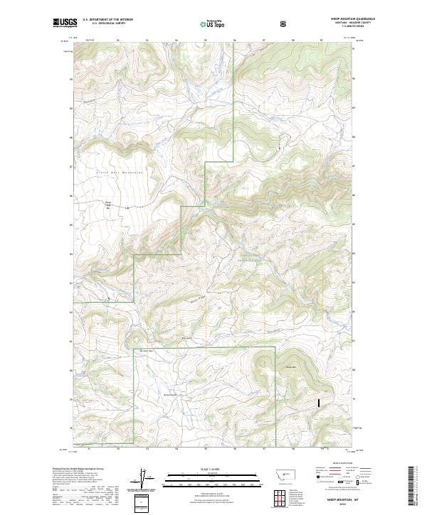
1971 Sheep Mountain
Meagher County, MT
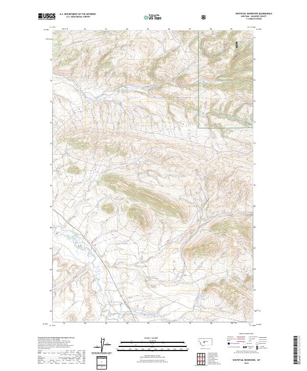
1971 Whitetail Reservoir
Meagher County, MT
1972 Castle Town
Meagher County, MT
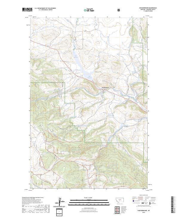
1972 Checkerboard
Meagher County, MT

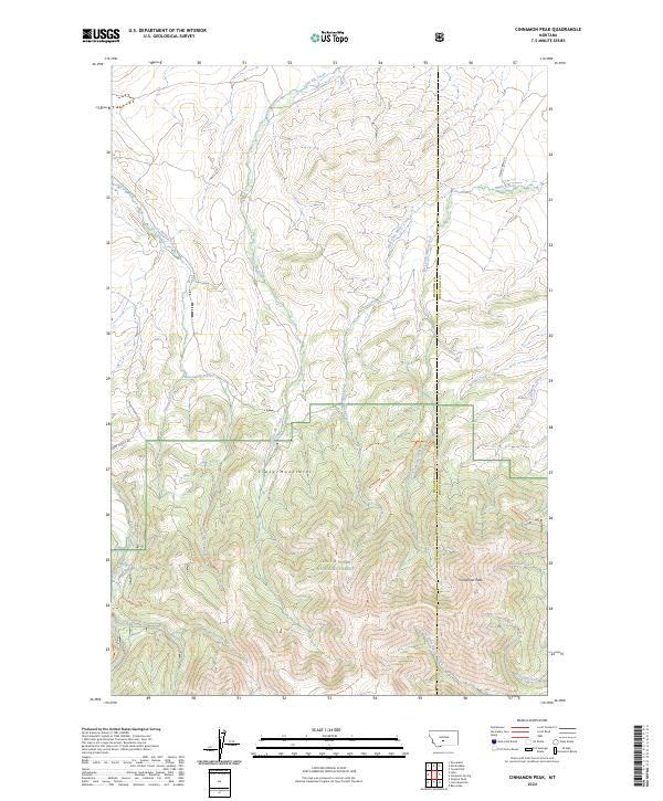
1972 Cinnamon Peak
Meagher County, MT
1972 Fourmile Spring
Meagher County, MT
1972 Groveland
Meagher County, MT
1972 Hoover Spring
Meagher County, MT
1972 Lebo
Meagher County, MT
1972 Lennep
Meagher County, MT

1972 Loco Mountain
Meagher County, MT
1972 Mount Howe
Meagher County, MT

1972 Mud Creek
Meagher County, MT
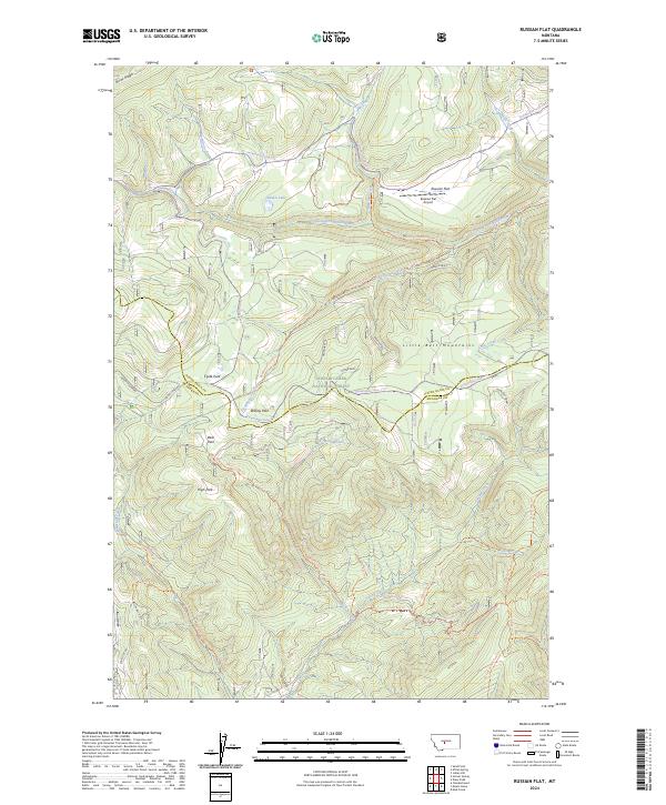
1972 Russian Flat
Meagher County, MT

1972 Virginia Peak
Meagher County, MT
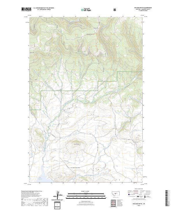
1972 Volcano Butte
Meagher County, MT

1975 Canyon Ferry Dam
Meagher County, MT

1993 Ringling
Meagher County, MT
1995 Bald Hills
Meagher County, MT

1995 Bubbling Springs
Meagher County, MT
1995 Castle Town
Meagher County, MT
1995 Charcoal Gulch
Meagher County, MT
1995 Checkerboard
Meagher County, MT

1995 Cinnamon Peak
Meagher County, MT
1995 Coxcombe Butte
Meagher County, MT
1995 Fort Logan
Meagher County, MT
1995 Fourmile Spring
Meagher County, MT
1995 Groveland
Meagher County, MT

1995 Hoover Spring
Meagher County, MT

1995 Kings Hill
Meagher County, MT

1995 Lebo
Meagher County, MT
1995 Lennep
Meagher County, MT
1995 Lingshire NE
Meagher County, MT
1995 Loco Mountain
Meagher County, MT
1995 Manger Park
Meagher County, MT
1995 Monument Peak
Meagher County, MT

1995 Moose Mountain
Meagher County, MT
1995 Mount Howe
Meagher County, MT
1995 Mud Creek
Meagher County, MT
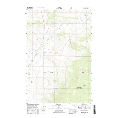
1995 Pinchout Creek
Meagher County, MT
1995 Rimrock Divide
Meagher County, MT
1995 Russian Flat
Meagher County, MT
1995 Sheep Mountain
Meagher County, MT

1995 Strawberry Butte
Meagher County, MT
1995 Volcano Butte
Meagher County, MT
1995 Whitetail Reservoir
Meagher County, MT
1997 Mud Creek
Meagher County, MT
2000 Virginia Peak
Meagher County, MT

2001 Battle Mountain
Meagher County, MT

2001 Boulder Baldy
Meagher County, MT
2001 Devils Footstool
Meagher County, MT
2001 Ellis Canyon
Meagher County, MT
2001 Gipsy Lake
Meagher County, MT

2001 Lingshire
Meagher County, MT

2001 Watson
Meagher County, MT
2011 Alkali Lake
Meagher County, MT
2011 Bald Hills
Meagher County, MT
2011 Battle Mountain
Meagher County, MT
2011 B K Ranch
Meagher County, MT
2011 Black Butte Mountain
Meagher County, MT
2011 Boulder Baldy
Meagher County, MT
2011 Bubbling Springs
Meagher County, MT
2011 Castle Town
Meagher County, MT
2011 Catlin Spring
Meagher County, MT

2011 Charcoal Gulch
Meagher County, MT
2011 Checkerboard
Meagher County, MT
2011 Cinnamon Peak
Meagher County, MT
2011 Coxcombe Butte
Meagher County, MT
2011 Devils Footstool
Meagher County, MT
2011 Ellis Canyon
Meagher County, MT
2011 Fort Logan
Meagher County, MT
2011 Fourmile Spring
Meagher County, MT
2011 Gipsy Lake
Meagher County, MT
2011 Groveland
Meagher County, MT
2011 Hamen
Meagher County, MT
2011 Hanson Reservoir
Meagher County, MT
2011 Hoover Spring
Meagher County, MT
2011 Kings Hill
Meagher County, MT
2011 Lebo
Meagher County, MT
2011 Lennep
Meagher County, MT
2011 Lingshire
Meagher County, MT
2011 Lingshire NE
Meagher County, MT
2011 Lingshire NW
Meagher County, MT
2011 Loco Mountain
Meagher County, MT
2011 Manger Park
Meagher County, MT
2011 Monument Peak
Meagher County, MT
2011 Moose Mountain
Meagher County, MT
2011 Mount Howe
Meagher County, MT
2011 Mud Creek
Meagher County, MT
2011 Pinchout Creek
Meagher County, MT
2011 Rimrock Divide
Meagher County, MT
2011 Ringling
Meagher County, MT
2011 Russian Flat
Meagher County, MT
2011 Sheep Mountain
Meagher County, MT
2011 Sixteen NE
Meagher County, MT
2011 Snedaker Basin
Meagher County, MT

2011 Strawberry Butte
Meagher County, MT
2011 Virginia Peak
Meagher County, MT
2011 Volcano Butte
Meagher County, MT
2011 Watson
Meagher County, MT
2011 Whitetail Reservoir
Meagher County, MT
2014 Alkali Lake
Meagher County, MT
2014 Bald Hills
Meagher County, MT
2014 Battle Mountain
Meagher County, MT
2014 B K Ranch
Meagher County, MT
2014 Black Butte Mountain
Meagher County, MT
2014 Boulder Baldy
Meagher County, MT
2014 Bubbling Springs
Meagher County, MT
2014 Castle Town
Meagher County, MT
2014 Catlin Spring
Meagher County, MT
2014 Charcoal Gulch
Meagher County, MT
2014 Checkerboard
Meagher County, MT
2014 Cinnamon Peak
Meagher County, MT
2014 Coxcombe Butte
Meagher County, MT
2014 Devils Footstool
Meagher County, MT
2014 Ellis Canyon
Meagher County, MT
2014 Fort Logan
Meagher County, MT
2014 Fourmile Spring
Meagher County, MT
2014 Gipsy Lake
Meagher County, MT
2014 Groveland
Meagher County, MT
2014 Hamen
Meagher County, MT
2014 Hanson Reservoir
Meagher County, MT
2014 Hoover Spring
Meagher County, MT
2014 Kings Hill
Meagher County, MT
2014 Lebo
Meagher County, MT
2014 Lennep
Meagher County, MT
2014 Lingshire
Meagher County, MT
2014 Lingshire NE
Meagher County, MT
2014 Lingshire NW
Meagher County, MT
2014 Loco Mountain
Meagher County, MT
2014 Manger Park
Meagher County, MT
2014 Monument Peak
Meagher County, MT
2014 Moose Mountain
Meagher County, MT
2014 Mount Howe
Meagher County, MT

2014 Mud Creek
Meagher County, MT
2014 Pinchout Creek
Meagher County, MT
2014 Rimrock Divide
Meagher County, MT
2014 Ringling
Meagher County, MT
2014 Russian Flat
Meagher County, MT
2014 Sheep Mountain
Meagher County, MT
2014 Sixteen NE
Meagher County, MT
2014 Snedaker Basin
Meagher County, MT
2014 Strawberry Butte
Meagher County, MT
2014 Virginia Peak
Meagher County, MT
2014 Volcano Butte
Meagher County, MT
2014 Watson
Meagher County, MT
2014 Whitetail Reservoir
Meagher County, MT
2017 Alkali Lake
Meagher County, MT
2017 Bald Hills
Meagher County, MT
2017 Battle Mountain
Meagher County, MT
2017 B K Ranch
Meagher County, MT
2017 Black Butte Mountain
Meagher County, MT
2017 Boulder Baldy
Meagher County, MT
2017 Bubbling Springs
Meagher County, MT
2017 Castle Town
Meagher County, MT
2017 Catlin Spring
Meagher County, MT
2017 Charcoal Gulch
Meagher County, MT
2017 Checkerboard
Meagher County, MT
2017 Cinnamon Peak
Meagher County, MT

2017 Coxcombe Butte
Meagher County, MT
2017 Devils Footstool
Meagher County, MT
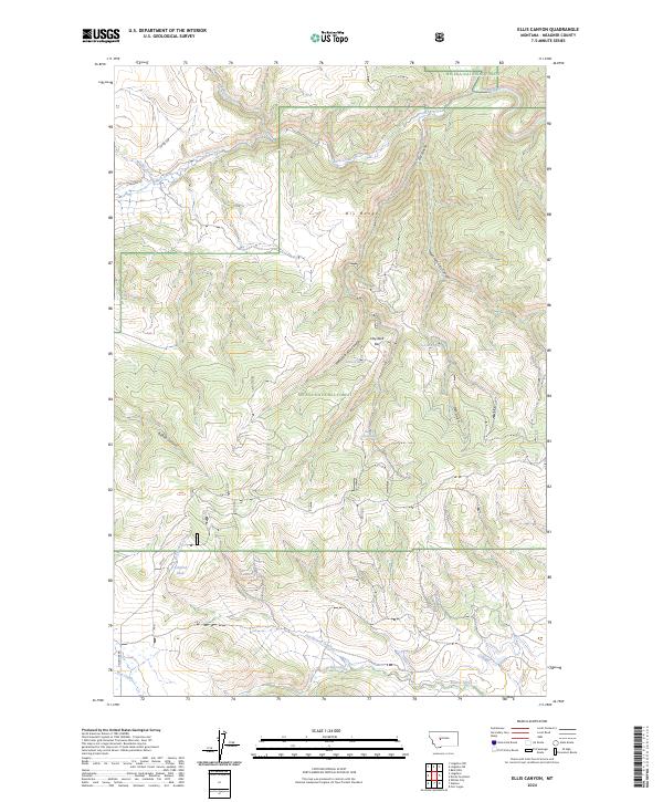
2017 Ellis Canyon
Meagher County, MT
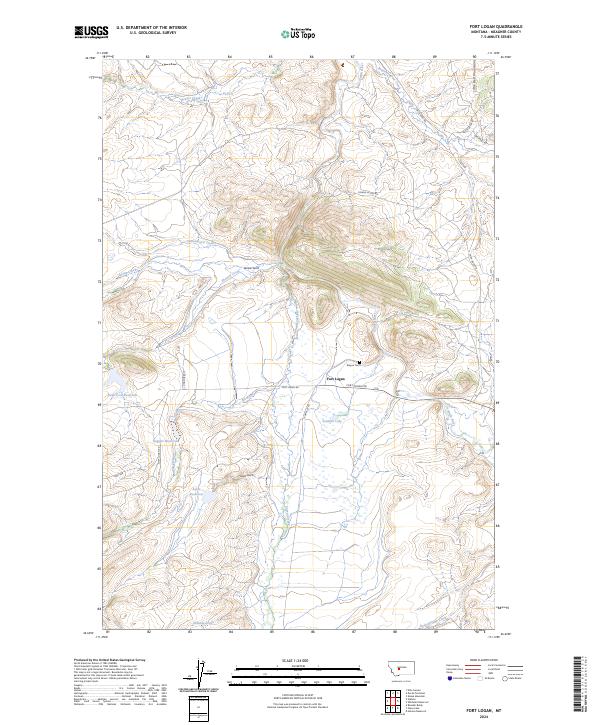
2017 Fort Logan
Meagher County, MT
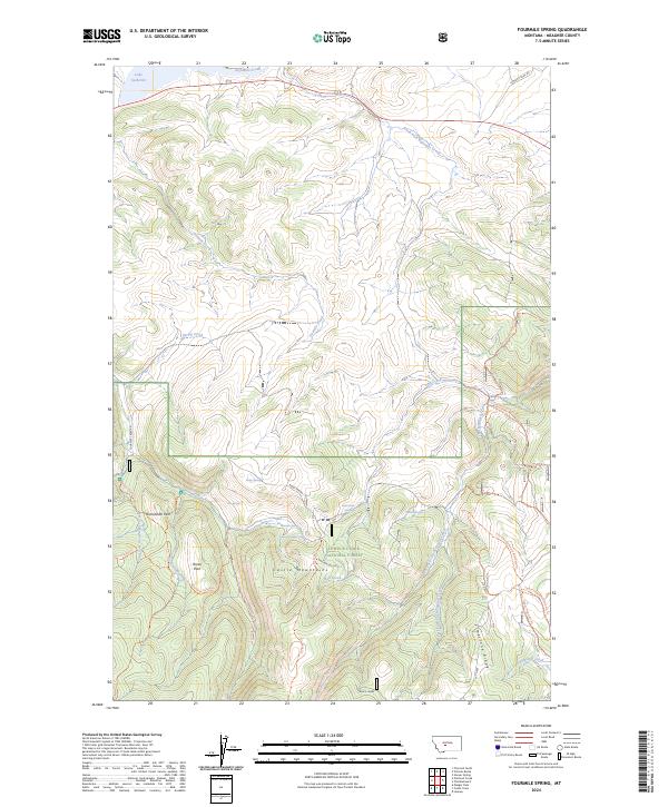
2017 Fourmile Spring
Meagher County, MT
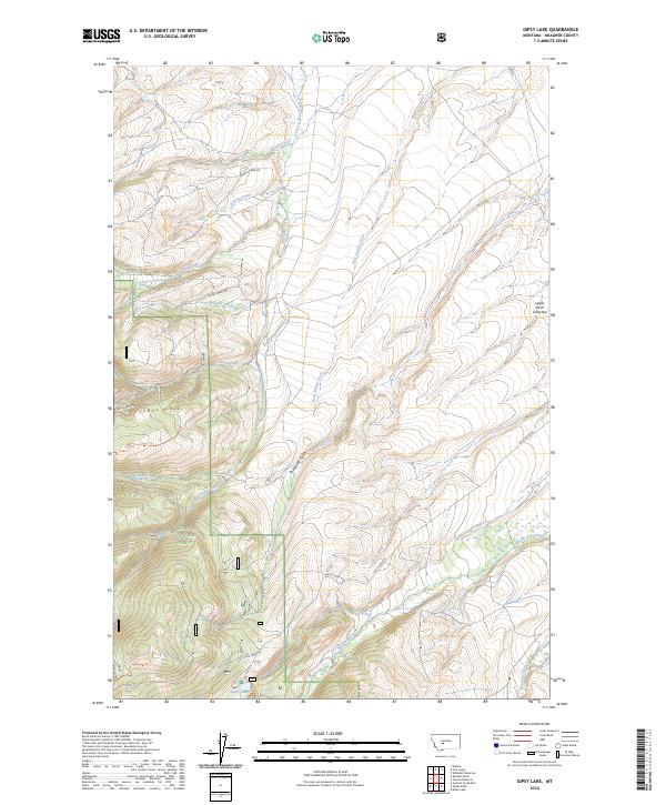
2017 Gipsy Lake
Meagher County, MT
2017 Groveland
Meagher County, MT
2017 Hamen
Meagher County, MT
2017 Hanson Reservoir
Meagher County, MT
2017 Hoover Spring
Meagher County, MT

2017 Kings Hill
Meagher County, MT
2017 Lebo
Meagher County, MT
2017 Lennep
Meagher County, MT
2017 Lingshire
Meagher County, MT
2017 Lingshire NE
Meagher County, MT
2017 Lingshire NW
Meagher County, MT
2017 Loco Mountain
Meagher County, MT
2017 Manger Park
Meagher County, MT
2017 Monument Peak
Meagher County, MT
2017 Moose Mountain
Meagher County, MT
2017 Mount Howe
Meagher County, MT
2017 Mud Creek
Meagher County, MT
2017 Pinchout Creek
Meagher County, MT
2017 Rimrock Divide
Meagher County, MT
2017 Ringling
Meagher County, MT
2017 Russian Flat
Meagher County, MT
2017 Sheep Mountain
Meagher County, MT
2017 Sixteen NE
Meagher County, MT
2017 Snedaker Basin
Meagher County, MT
2017 Strawberry Butte
Meagher County, MT
2017 Virginia Peak
Meagher County, MT
2017 Volcano Butte
Meagher County, MT
2017 Watson
Meagher County, MT
2017 Whitetail Reservoir
Meagher County, MT
2020 Alkali Lake
Meagher County, MT
2020 Bald Hills
Meagher County, MT
2020 Battle Mountain
Meagher County, MT
2020 B K Ranch
Meagher County, MT
2020 Black Butte Mountain
Meagher County, MT
2020 Boulder Baldy
Meagher County, MT
2020 Bubbling Springs
Meagher County, MT
2020 Castle Town
Meagher County, MT
2020 Catlin Spring
Meagher County, MT
2020 Charcoal Gulch
Meagher County, MT
2020 Checkerboard
Meagher County, MT
2020 Cinnamon Peak
Meagher County, MT
2020 Coxcombe Butte
Meagher County, MT
2020 Devils Footstool
Meagher County, MT
2020 Ellis Canyon
Meagher County, MT
2020 Fort Logan
Meagher County, MT
2020 Fourmile Spring
Meagher County, MT
2020 Gipsy Lake
Meagher County, MT
2020 Groveland
Meagher County, MT
2020 Hamen
Meagher County, MT
2020 Hanson Reservoir
Meagher County, MT

2020 Hoover Spring
Meagher County, MT
2020 Kings Hill
Meagher County, MT
2020 Lebo
Meagher County, MT
2020 Lennep
Meagher County, MT
2020 Lingshire
Meagher County, MT
2020 Lingshire NE
Meagher County, MT
2020 Lingshire NW
Meagher County, MT
2020 Loco Mountain
Meagher County, MT
2020 Manger Park
Meagher County, MT
2020 Monument Peak
Meagher County, MT
2020 Moose Mountain
Meagher County, MT
2020 Mount Howe
Meagher County, MT
2020 Mud Creek
Meagher County, MT
2020 Pinchout Creek
Meagher County, MT
2020 Rimrock Divide
Meagher County, MT
2020 Ringling
Meagher County, MT
2020 Russian Flat
Meagher County, MT
2020 Sheep Mountain
Meagher County, MT
2020 Sixteen NE
Meagher County, MT
2020 Snedaker Basin
Meagher County, MT
2020 Strawberry Butte
Meagher County, MT
2020 Virginia Peak
Meagher County, MT
2020 Volcano Butte
Meagher County, MT
2020 Watson
Meagher County, MT
2020 Whitetail Reservoir
Meagher County, MT
2024 Alkali Lake
Meagher County, MT
2024 Bald Hills
Meagher County, MT
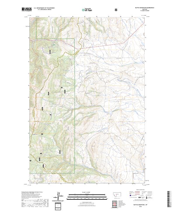
2024 Battle Mountain
Meagher County, MT
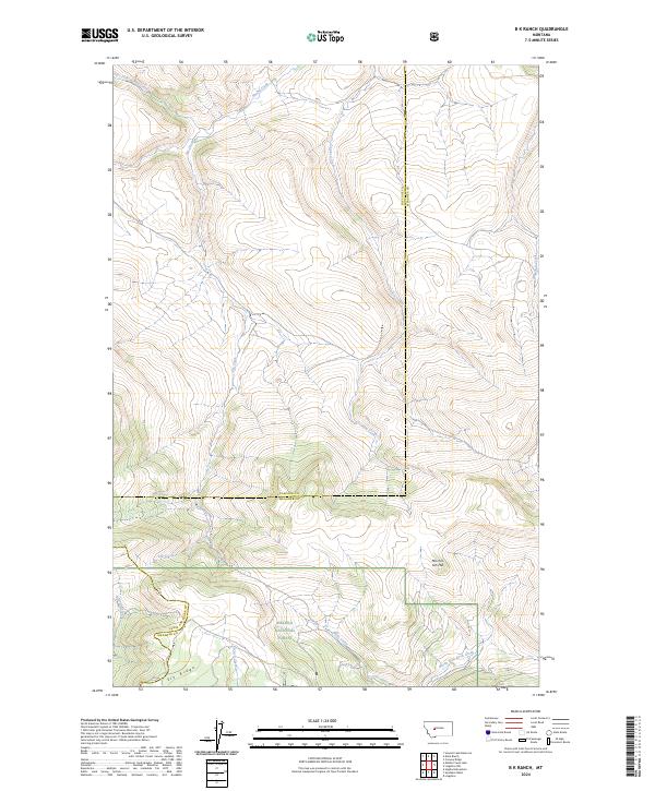
2024 B K Ranch
Meagher County, MT
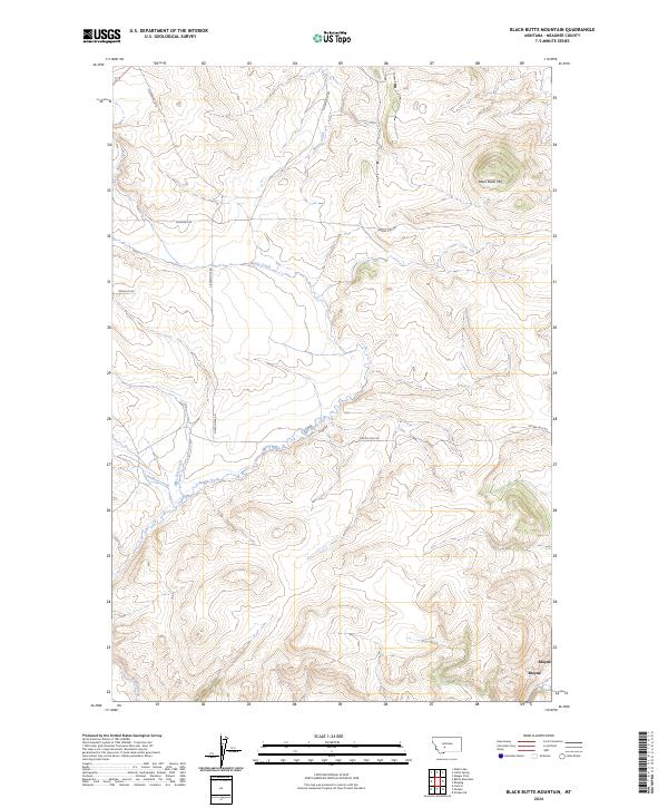
2024 Black Butte Mountain
Meagher County, MT
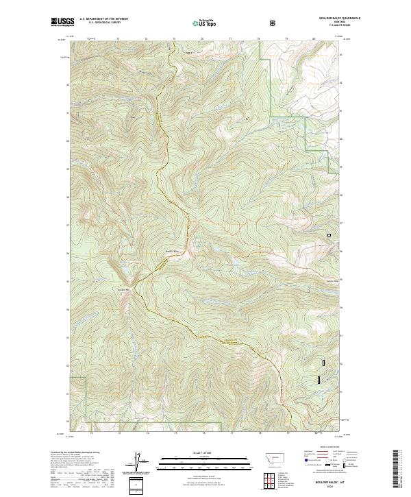
2024 Boulder Baldy
Meagher County, MT
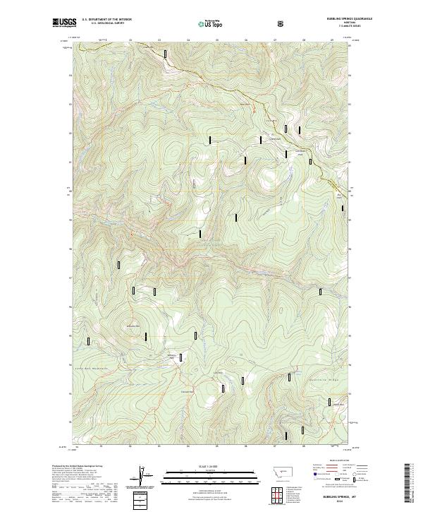
2024 Bubbling Springs
Meagher County, MT
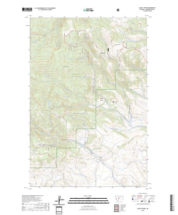
2024 Castle Town
Meagher County, MT
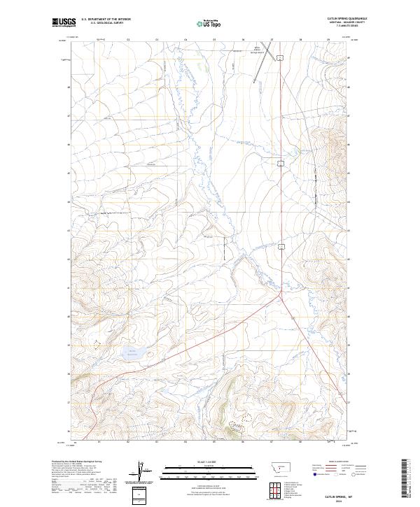
2024 Catlin Spring
Meagher County, MT
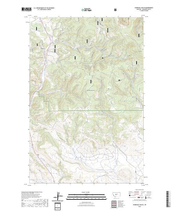
2024 Charcoal Gulch
Meagher County, MT
2024 Checkerboard
Meagher County, MT
2024 Cinnamon Peak
Meagher County, MT
2024 Coxcombe Butte
Meagher County, MT
2024 Devils Footstool
Meagher County, MT
2024 Ellis Canyon
Meagher County, MT
2024 Fort Logan
Meagher County, MT
2024 Fourmile Spring
Meagher County, MT
2024 Gipsy Lake
Meagher County, MT
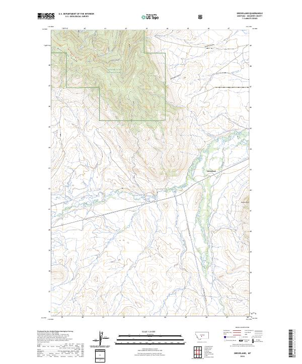
2024 Groveland
Meagher County, MT
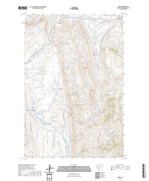
2024 Hamen
Meagher County, MT
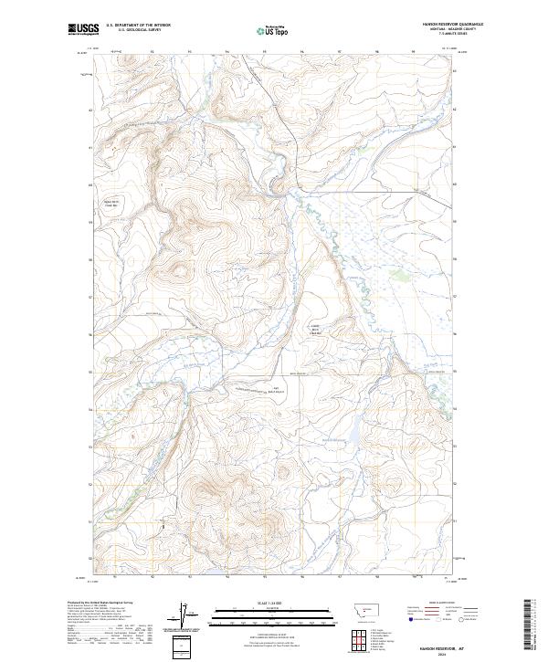
2024 Hanson Reservoir
Meagher County, MT

2024 Hoover Spring
Meagher County, MT
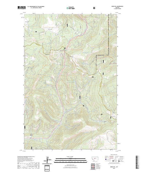
2024 Kings Hill
Meagher County, MT
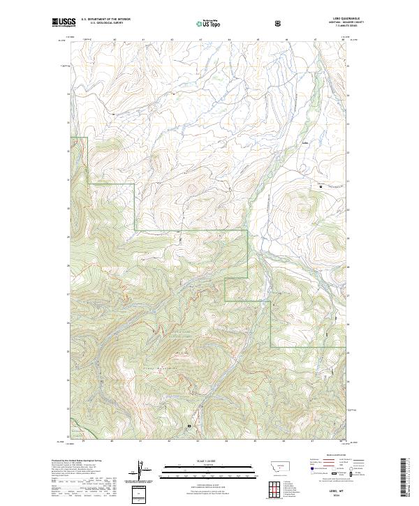
2024 Lebo
Meagher County, MT
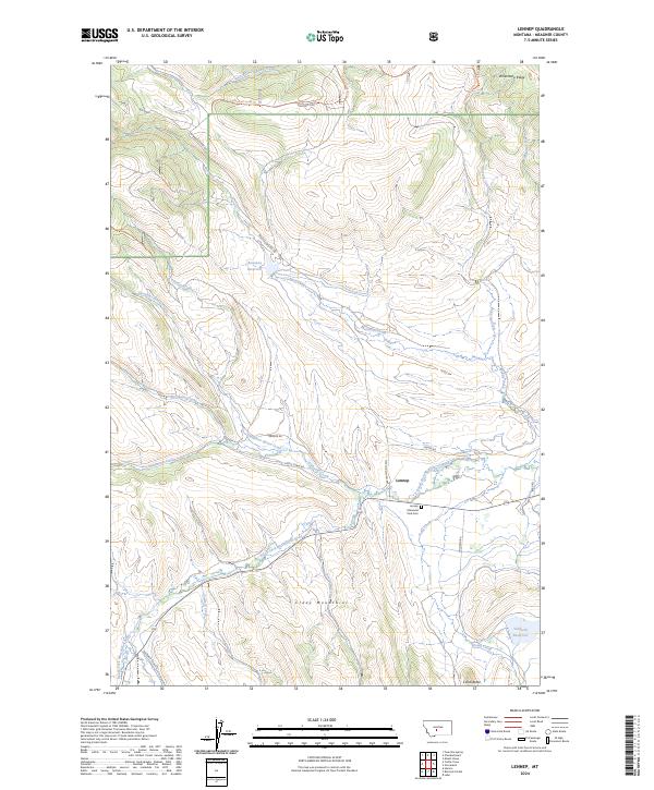
2024 Lennep
Meagher County, MT
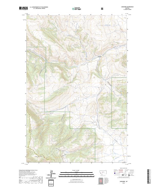
2024 Lingshire
Meagher County, MT
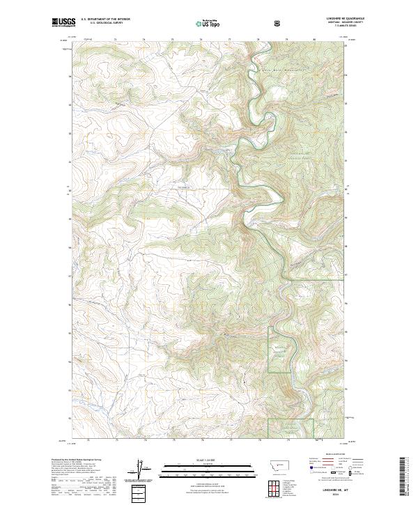
2024 Lingshire NE
Meagher County, MT
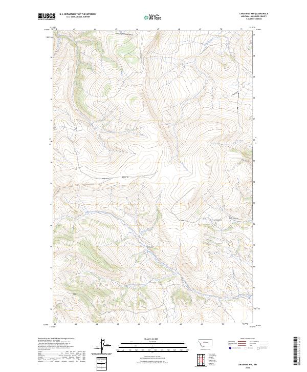
2024 Lingshire NW
Meagher County, MT
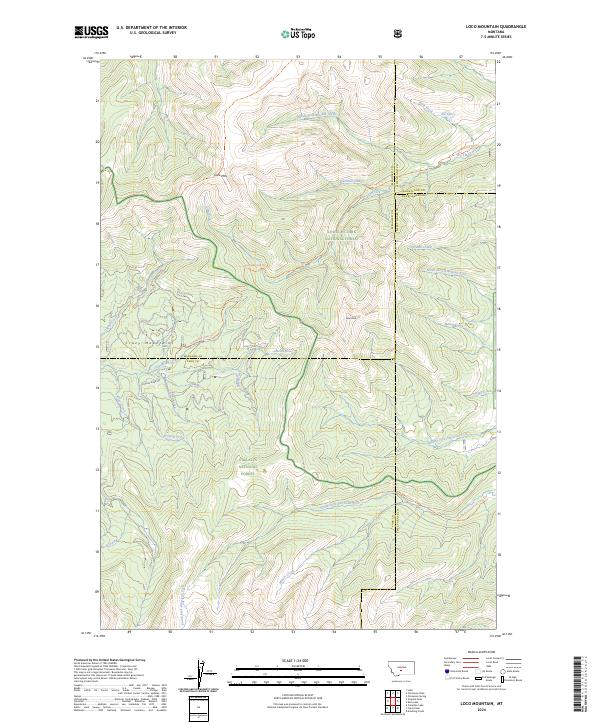
2024 Loco Mountain
Meagher County, MT
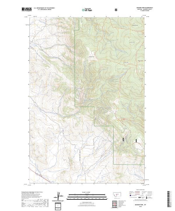
2024 Manger Park
Meagher County, MT
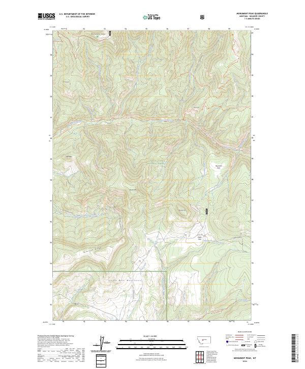
2024 Monument Peak
Meagher County, MT
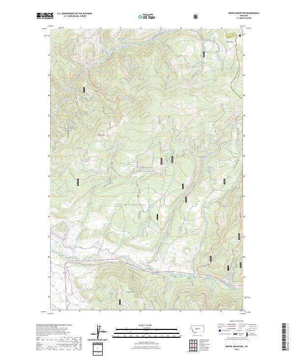
2024 Moose Mountain
Meagher County, MT
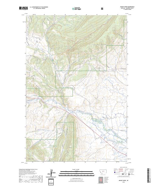
2024 Mount Howe
Meagher County, MT
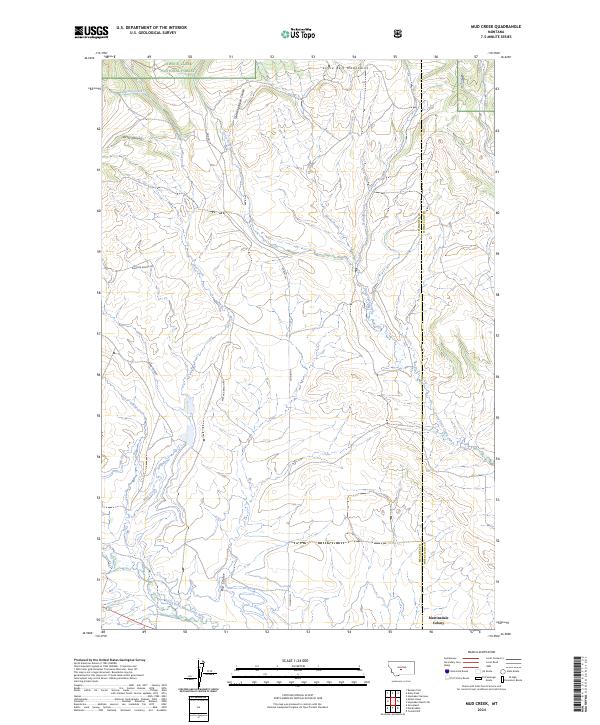
2024 Mud Creek
Meagher County, MT
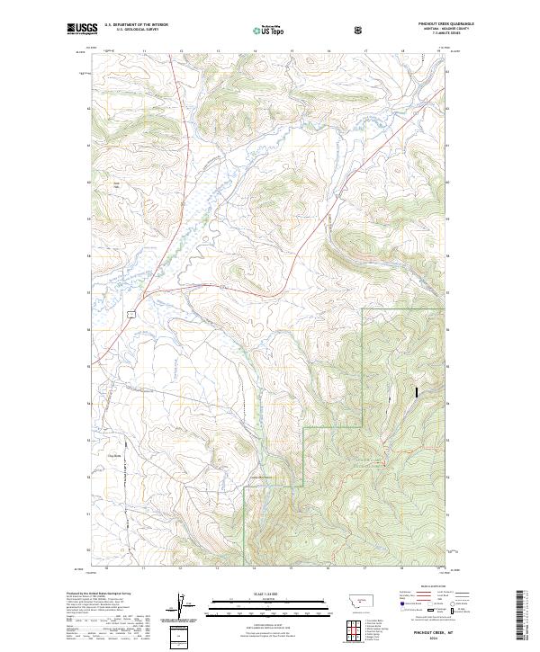
2024 Pinchout Creek
Meagher County, MT
2024 Rimrock Divide
Meagher County, MT
2024 Ringling
Meagher County, MT
2024 Russian Flat
Meagher County, MT
2024 Sheep Mountain
Meagher County, MT
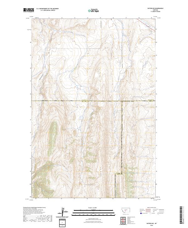
2024 Sixteen NE
Meagher County, MT
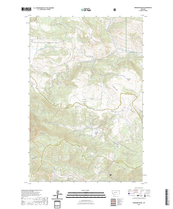
2024 Snedaker Basin
Meagher County, MT
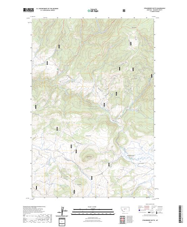
2024 Strawberry Butte
Meagher County, MT
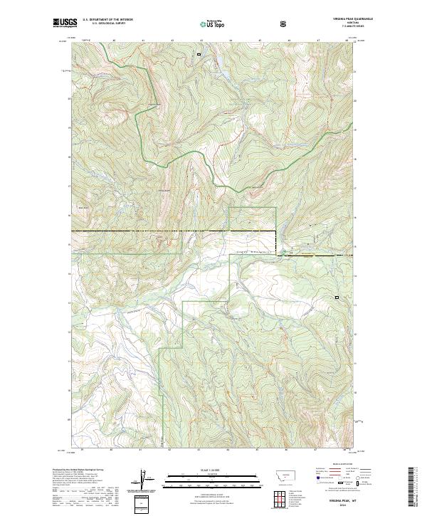
2024 Virginia Peak
Meagher County, MT
2024 Volcano Butte
Meagher County, MT
2024 Watson
Meagher County, MT
2024 Whitetail Reservoir
Meagher County, MT