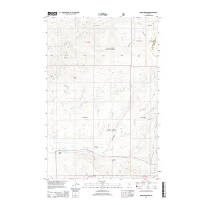
2014 Map of Moose Mountain
USGS Topo · Published 2014About this map
Wolsey sits at the base of the high timbered country of the Lewis & Clark National Forest in Meagher County. The landscape is defined by the sharp elevations of Moose Mtn and Green Mtn, where numerous drainages such as Kinney Creek and Wolsey Cr flow south toward the Sheep Cr valley. Agricultural and water management efforts are evident through the Holmstrom Ditch, which follows the southern contours near US Hwy 89. The northern reaches of the quadrangle are more isolated, featuring the open high-altitude meadows of Moose Park and the headwaters of Moose Cr. This 2014 survey documents the complex forest road network including Moose Creek Rd and Jumping Creek Rd, reflecting the dual use of the land for forestry and remote mountain access.
Find a feature on this map
41 named features on this map. Tap any name to fly to it.
Don’t see what you’re looking for? This feature index may not catch every label — zoom into the map to look around manually.
Map Details
Editions of this 2014 Moose Mountain Map
This is the sole edition of this map. No revisions or reprints were ever made.
Other maps of this area

1886 · Little Belt Mts.
USGS Topo · 1:250,000

1894 · Little Belt Mts.
USGS Topo · 1:250,000

1897 · Little Belt Mts.
USGS Topo · 1:250,000

1898 · Little Belt Mts.
USGS Topo · 1:250,000

1902 · Little Belt Mts.
USGS Topo · 1:250,000

1948 · White Sulphur Springs
USGS Topo · 1:250,000

1958 · White Sulphur Springs
USGS Topo · 1:250,000

1961 · White Sulphur Springs
USGS Topo · 1:250,000
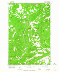
1961 · Kings Hill
USGS Topo · 1:24,000
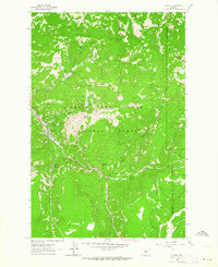
1961 · Neihart
USGS Topo · 1:24,000