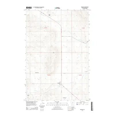
2014 Map of Ringling
USGS Topo · Published 2014About this map
Ringling serves as the central hub of this Meagher County landscape, situated at the intersection of Us-89 and the winding course of Sixteenmile Cr. The terrain is defined by its drainage systems, where the S Fork Smith River flows north toward Moss Agate and Agate Cr, while the southern reaches are dominated by the creek valley near Moyne. Local landmarks such as Horse Butte provide topographical relief in a region where travel and habitation follow the water and the road.
Find a feature on this map
23 named features on this map. Tap any name to fly to it.
Don’t see what you’re looking for? This feature index may not catch every label — zoom into the map to look around manually.
Map Details
Editions of this 2014 Ringling Map
This is the sole edition of this map. No revisions or reprints were ever made.
Other maps of this area

1886 · Little Belt Mts.
USGS Topo · 1:250,000

1894 · Little Belt Mts.
USGS Topo · 1:250,000

1897 · Little Belt Mts.
USGS Topo · 1:250,000

1898 · Little Belt Mts.
USGS Topo · 1:250,000

1902 · Little Belt Mts.
USGS Topo · 1:250,000

1948 · White Sulphur Springs
USGS Topo · 1:250,000

1948 · Sixteen
USGS Topo · 1:24,000

1951 · Sixteen NE
USGS Topo · 1:24,000

1951 · Hamen
USGS Topo · 1:24,000
1951 · Wolf Hill
USGS Topo · 1:24,000