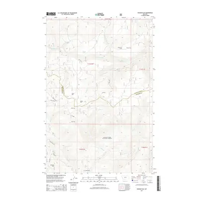
2014 Map of Russian Flat
USGS Topo · Published 2014About this map
Lewis & Clark National Forest encompasses the majority of this landscape, where the high mountain meadows of Russian Flat and Clyde Park meet the headwaters of the S Fork Judith River. The terrain is defined by a sequence of glacial or alpine parks, including Willow Park, Bear Park, and High Park, which suggest a long history of seasonal grazing or high-altitude recreation. The presence of the Russian Flat Airport in such a remote upland setting indicates the importance of aerial access for forest management or backcountry travel.
Find a feature on this map
23 named features on this map. Tap any name to fly to it.
Don’t see what you’re looking for? This feature index may not catch every label — zoom into the map to look around manually.
Map Details
Editions of this 2014 Russian Flat Map
This is the sole edition of this map. No revisions or reprints were ever made.
Other maps of this area
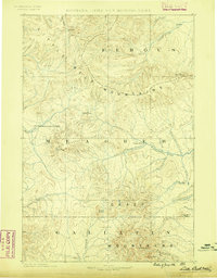
1886 · Little Belt Mts.
USGS Topo · 1:250,000
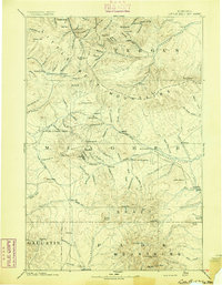
1894 · Little Belt Mts.
USGS Topo · 1:250,000
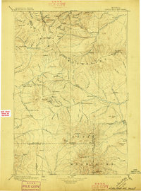
1897 · Little Belt Mts.
USGS Topo · 1:250,000
1898 · Little Belt Mts.
USGS Topo · 1:250,000
1902 · Little Belt Mts.
USGS Topo · 1:250,000
1948 · White Sulphur Springs
USGS Topo · 1:250,000
1958 · White Sulphur Springs
USGS Topo · 1:250,000
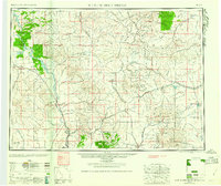
1961 · White Sulphur Springs
USGS Topo · 1:250,000
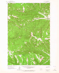
1961 · Sand Point
USGS Topo · 1:24,000
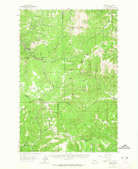
1961 · Neihart
USGS Topo · 1:62,500