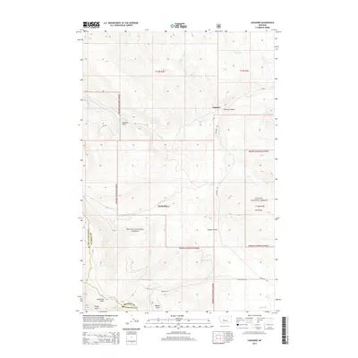
2014 Map of Lingshire
USGS Topo · Published 2014About this map
The settlement of Lingshire sits at the convergence of several high-country drainages within the eastern reaches of the Helena National Forest. This Montana landscape is defined by the Dry Range and a network of named gulches and canyons that trace the early tracks and water sources of the region. Buffalo Canyon and Calamity Gulch suggest the difficult topography encountered by early settlers, while named water sources like Ashford Spring and Crystal Spring provided essential hubs for livestock and travel. Toward the south, Avalanche Butte stands as a prominent landmark near the headwaters of Beaver Creek. The map documents the intricate boundary lines where Meagher County meets Broadwater and Lewis and Clark counties, reflecting the complex administrative history of this section of the Big Belt Mountains.
Find a feature on this map
29 named features on this map. Tap any name to fly to it.
Don’t see what you’re looking for? This feature index may not catch every label — zoom into the map to look around manually.
Map Details
Editions of this 2014 Lingshire Map
This is the sole edition of this map. No revisions or reprints were ever made.
Other maps of this area

1886 · Fort Logan
USGS Topo · 1:250,000

1948 · White Sulphur Springs
USGS Topo · 1:250,000

1950 · Canyon Ferry
USGS Topo · 1:62,500

1958 · White Sulphur Springs
USGS Topo · 1:250,000

1961 · White Sulphur Springs
USGS Topo · 1:250,000

1962 · B K Ranch
USGS Topo · 1:24,000

1962 · Snedaker Basin
USGS Topo · 1:24,000

1965 · White Sulphur Springs
USGS Topo · 1:250,000

1966 · Lingshire
USGS Topo · 1:24,000

1966 · Whites City
USGS Topo · 1:24,000