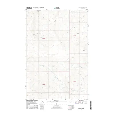
2017 Map of Lingshire NW
USGS Topo · Published 2017About this map
Mowing Machine Coulée and the steep terrain of the Big Belt Mountains define this landscape in Meagher County. The drainage patterns of the Missouri River watershed are intricately detailed, showing how the N Fork Freeman Cr and S Fork Freeman Cr converge as they move through the high country. To the north, Whitetail Cr and Trout Cr carve deep paths through the timbered slopes, while Black Canyon serves as a prominent landmark for navigation.
Find a feature on this map
17 named features on this map. Tap any name to fly to it.
Don’t see what you’re looking for? This feature index may not catch every label — zoom into the map to look around manually.
Map Details
Editions of this 2017 Lingshire NW Map
This is the sole edition of this map. No revisions or reprints were ever made.
Other maps of this area

1886 · Great Falls
USGS Topo · 1:250,000

1886 · Fort Logan
USGS Topo · 1:250,000

1948 · White Sulphur Springs
USGS Topo · 1:250,000

1954 · Great Falls
USGS Topo · 1:250,000

1957 · Great Falls
USGS Topo · 1:250,000

1958 · White Sulphur Springs
USGS Topo · 1:250,000

1961 · White Sulphur Springs
USGS Topo · 1:250,000

1961 · Dana Ranch
USGS Topo · 1:24,000

1962 · B K Ranch
USGS Topo · 1:24,000

1962 · Snedaker Basin
USGS Topo · 1:24,000