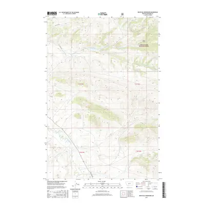
2017 Map of Whitetail Reservoir
USGS Topo · Published 2017About this map
The Lewis & Clark National Forest covers the northeastern portion of this quadrangle, defining a high-elevation landscape of drainages and reservoirs in Meagher County. Whitetail Reservoir is the central hydrologic feature, fed by the Whitetail-Deer Cr and its northern tributary, Decker Gulch. To the south, the Dry Fork Whitetail-Deer Cr winds through the terrain, illustrating the complex network of mountain streams that characterize this part of Montana.
Find a feature on this map
19 named features on this map. Tap any name to fly to it.
Don’t see what you’re looking for? This feature index may not catch every label — zoom into the map to look around manually.
Map Details
Editions of this 2017 Whitetail Reservoir Map
This is the sole edition of this map. No revisions or reprints were ever made.
Other maps of this area

1886 · Fort Logan
USGS Topo · 1:250,000

1886 · Little Belt Mts.
USGS Topo · 1:250,000

1894 · Little Belt Mts.
USGS Topo · 1:250,000

1897 · Little Belt Mts.
USGS Topo · 1:250,000

1898 · Little Belt Mts.
USGS Topo · 1:250,000

1902 · Little Belt Mts.
USGS Topo · 1:250,000

1948 · White Sulphur Springs
USGS Topo · 1:250,000

1958 · White Sulphur Springs
USGS Topo · 1:250,000

1961 · White Sulphur Springs
USGS Topo · 1:250,000

1965 · White Sulphur Springs
USGS Topo · 1:250,000