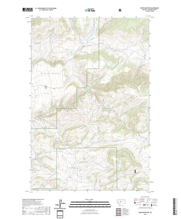
2024 Map of Sheep Mountain
USGS Topo · Published 2024About this map
The Little Belt Mountains dominate this high-elevation landscape within the Lewis & Clark National Forest in Meagher County. The terrain is defined by dramatic ridgelines such as Rocky Ridge and notable crossings like Elk Horn Pass, which separates the drainages of Horse Creek and Cottonwood Creek. While the area is primarily wilderness, the settlement of Sheep Creek Bar serves as a lone point of historical human activity along the northern reach of Sheep Creek. A complex network of drainage systems, including Eagle Creek, Big Butte Creek, and Bear Gulch, carves through the township and range divisions. Accessibility is provided by the Smith River Rd and Butte Creek Rd, which navigate the valley floors beneath Sheep Mountain. The map illustrates the contemporary management of this vast mountain landscape, showing how modern forestry and road access interface with the traditional topography of the Montana backcountry.
Find a feature on this map
26 named features on this map. Tap any name to fly to it.
Don’t see what you’re looking for? This feature index may not catch every label — zoom into the map to look around manually.
Map Details
Editions of this 2024 Sheep Mountain Map
This is the sole edition of this map. No revisions or reprints were ever made.
Other maps of this area

1886 · Fort Logan
USGS Topo · 1:250,000

1886 · Little Belt Mts.
USGS Topo · 1:250,000

1894 · Little Belt Mts.
USGS Topo · 1:250,000

1897 · Little Belt Mts.
USGS Topo · 1:250,000

1898 · Little Belt Mts.
USGS Topo · 1:250,000

1902 · Little Belt Mts.
USGS Topo · 1:250,000

1948 · White Sulphur Springs
USGS Topo · 1:250,000

1958 · White Sulphur Springs
USGS Topo · 1:250,000

1961 · White Sulphur Springs
USGS Topo · 1:250,000

1965 · White Sulphur Springs
USGS Topo · 1:250,000