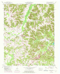
1950 Map of Buchanan
USGS Topo · Published 1972About this map
Kentucky Lake dominates the eastern edge of this Tennessee landscape, where the waters of the Tennessee River have altered the drainage patterns of the Henry County backcountry. In the early 1950s, the terrain west of the reservoir is defined by an intricate network of waterways and early reclamation projects, including the Blood River Drainage Canal and the South Fork Drainage Canal. The settlement of Buchanan sits at a central crossroads, serving as a focal point for a dispersed rural community connected by the Austin Memorial Highway. The map reveals a dense distribution of family and community landmarks, particularly country churches like Mt Sinai Ch and Blood River Ch. Significant genealogical data is present through numerous small burial grounds, such as Heglar Chapel Cem, Neece Cem, and Patterson Cem, which trace the ancestral footprints of the families settled along the creeks and forks.
Find a feature on this map
57 named features on this map. Tap any name to fly to it.
Don’t see what you’re looking for? This feature index may not catch every label — zoom into the map to look around manually.
Map Details
Editions of this 1950 Buchanan Map
2 editions found
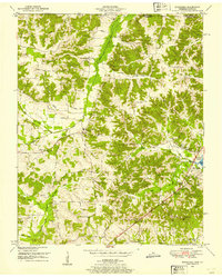
Other maps of this area

1936 · Poplar Creek
USGS Topo · 1:24,000

1936 · Conyersville
USGS Topo · 1:24,000

1936 · Buchanan
USGS Topo · 1:24,000

1936 · Hazel
USGS Topo · 1:24,000

1936 · New Concord
USGS Topo · 1:24,000

1936 · Hamlin
USGS Topo · 1:24,000

1936 · Centerville Landing
USGS Topo · 1:24,000

1936 · Paris
USGS Topo · 1:24,000

1936 · Springville
USGS Topo · 1:24,000

1938 · Springville
USGS Topo · 1:24,000