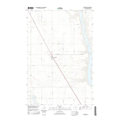
2014 Map of Buchanan
USGS Topo · Published 2014About this map
Buchanan serves as the central hub of this North Dakota landscape, situated along the diagonal path of Us-281. The settlement's local infrastructure is detailed by its street grid, including Main St and Buchanan St, and the presence of the local Po. This map captures a transition between the elevated prairie and significant water features on either side of the settlement. To the east, the sprawling Jamestown Reservoir fills the valley, while the southwest corner reveals a portion of Pipestem Lake. The surrounding terrain is defined by a dense network of sectional roads, such as 20th St SE and 77th Ave SE, which organize the agricultural lands characteristic of Stutsman County.
Find a feature on this map
22 named features on this map. Tap any name to fly to it.
Don’t see what you’re looking for? This feature index may not catch every label — zoom into the map to look around manually.
Map Details
Editions of this 2014 Buchanan Map
This is the sole edition of this map. No revisions or reprints were ever made.
Other maps of this area
1896 · Jamestown
USGS Topo · 1:125,000
1900 · Pingree
USGS Topo · 1:125,000
1900 · Pingree
USGS Topo · 1:62,500
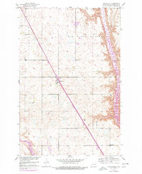
1950 · Buchanan
USGS Topo · 1:24,000
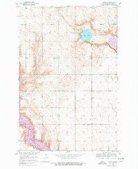
1950 · Fried
USGS Topo · 1:24,000
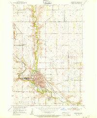
1951 · Jamestown
USGS Topo · 1:24,000
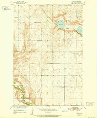
1951 · Fried
USGS Topo · 1:24,000
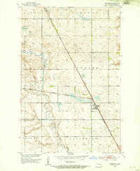
1951 · Pingree
USGS Topo · 1:24,000
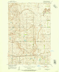
1951 · Eldridge NW
USGS Topo · 1:24,000
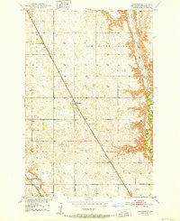
1952 · Buchanan
USGS Topo · 1:24,000