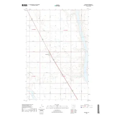
2018 Map of Buchanan
USGS Topo · Published 2018About this map
The small community of Buchanan serves as the central hub of this prairie landscape, situated along the diagonal path of US Route 281. This 2018 survey documents a region defined by its water management and agricultural grid, where the James River feeds into the northern reaches of the Jamestown Reservoir in the east. The terrain is dotted with numerous small potholes and wetlands characteristic of the drift prairie, contrasting with the more permanent waters of Pipestem Lake in the southwest corner. The intersection of Main St and Co Hwy 42 anchors the local transportation network, while a systematic grid of section roads like 79th Ave SE and 25th St SE organizes the surrounding farmland across the T141N and T142N townships.
Find a feature on this map
23 named features on this map. Tap any name to fly to it.
Don’t see what you’re looking for? This feature index may not catch every label — zoom into the map to look around manually.
Map Details
Editions of this 2018 Buchanan Map
This is the sole edition of this map. No revisions or reprints were ever made.
Other maps of this area
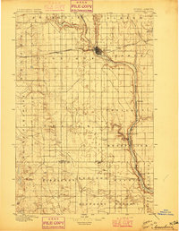
1896 · Jamestown
USGS Topo · 1:125,000
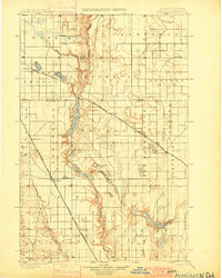
1900 · Pingree
USGS Topo · 1:125,000
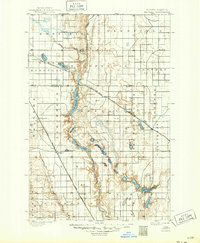
1900 · Pingree
USGS Topo · 1:62,500
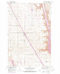
1950 · Buchanan
USGS Topo · 1:24,000
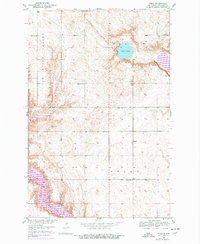
1950 · Fried
USGS Topo · 1:24,000
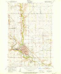
1951 · Jamestown
USGS Topo · 1:24,000
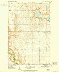
1951 · Fried
USGS Topo · 1:24,000
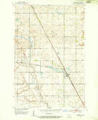
1951 · Pingree
USGS Topo · 1:24,000
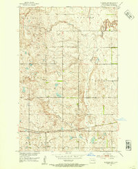
1951 · Eldridge NW
USGS Topo · 1:24,000
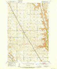
1952 · Buchanan
USGS Topo · 1:24,000