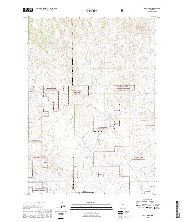
2021 Map of Buck Creek
USGS Topo · Published 2021About this map
Thunder Basin National Grassland dominates this high plains landscape, spanning the boundary between Campbell and Weston counties. The terrain is defined by an intricate network of seasonal drainage prongs and creeks that flow through the vast public grazing lands. Waterways such as Newel Prong, Peterson Prong, and Baker Prong feed into larger systems like Buck Cr and Black Thunder Cr.
Find a feature on this map
17 named features on this map. Tap any name to fly to it.
Don’t see what you’re looking for? This feature index may not catch every label — zoom into the map to look around manually.
Map Details
Editions of this 2021 Buck Creek Map
This is the sole edition of this map. No revisions or reprints were ever made.
Other maps of this area

1955 · Newcastle
USGS Topo · 1:250,000

1958 · Newcastle
USGS Topo · 1:250,000

1971 · Piney Canyon NE
USGS Topo · 1:24,000

1971 · Open A Ranch
USGS Topo · 1:24,000

1971 · Rough Creek
USGS Topo · 1:24,000

1971 · Piney Canyon NW
USGS Topo · 1:24,000
1971 · Jim Creek
USGS Topo · 1:24,000
1971 · Buck Creek
USGS Topo · 1:24,000

1974 · Reno Junction
USGS Topo · 1:100,000

1979 · Newcastle
USGS Topo · 1:100,000