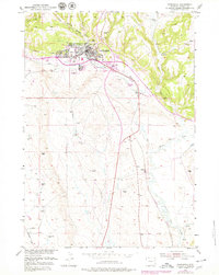
1979 Map of Newcastle
USGS Topo · Published 1979About this map
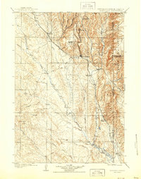
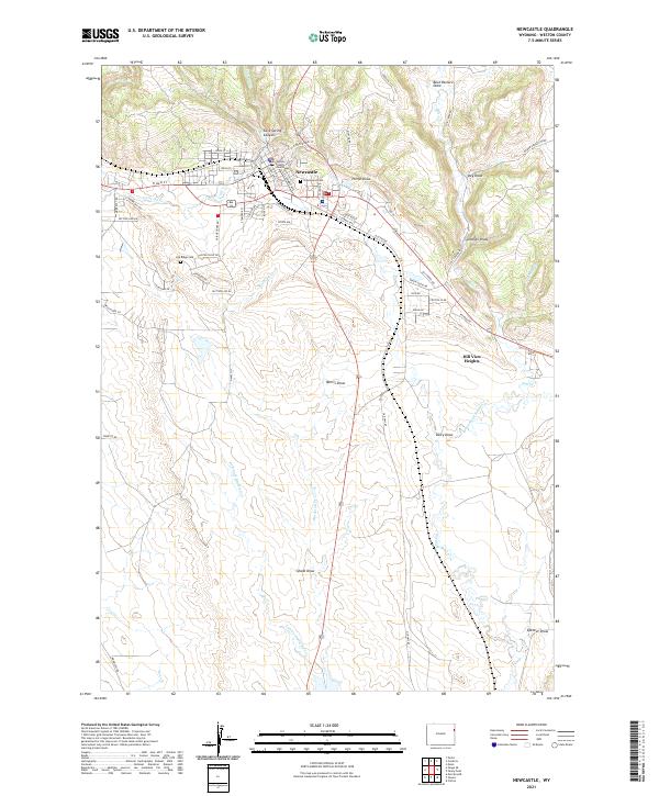
Newcastle serves as the focal point for this late-1970s survey, situated where the high plains of eastern Wyoming meet the rising terrain of the Black Hills National Forest. The landscape is dominated by a sprawling energy economy, characterized by numerous production zones including the Fiddler Creek Oil Field, Mush Creek Oil Field, and Clareton Oil Field. These industrial sites are interspersed with established cattle operations like the Lynch Ranch, Todd Ranch, and AU 7 Ranch, reflecting the dual reliance on mineral wealth and rangeland.
Find a feature on this map
94 named features on this map. Tap any name to fly to it.
Don’t see what you’re looking for? This feature index may not catch every label — zoom into the map to look around manually.
Map Details
Editions of this 1979 Newcastle Map
This is the sole edition of this map. No revisions or reprints were ever made.
Historical Maps of Newcastle Through Time
8 maps found