
1971 Map of Piney Canyon NW
USGS Topo · Published 1974About this map
Energy extraction and ranching infrastructure define this corner of Campbell County during the early 1970s. The landscape is marked by a network of industrial sites, including a Strip Mine and numerous Oil Wells, Gas Wells, and Drill Holes scattered across the terrain. These features reflect the intensifying mineral exploration in the Powder River Basin at the time. A notable Landing Strip and the Pipeline provide further evidence of the logistical requirements of this remote industrial activity.
Find a feature on this map
18 named features on this map. Tap any name to fly to it.
Don’t see what you’re looking for? This feature index may not catch every label — zoom into the map to look around manually.
Map Details
Editions of this 1971 Piney Canyon NW Map
This is the sole edition of this map. No revisions or reprints were ever made.
Other maps of this area

1955 · Newcastle
USGS Topo · 1:250,000

1958 · Newcastle
USGS Topo · 1:250,000

1971 · Teckla
USGS Topo · 1:24,000

1971 · Piney Canyon NE
USGS Topo · 1:24,000

1971 · Open A Ranch
USGS Topo · 1:24,000

1971 · Reno Reservoir
USGS Topo · 1:24,000

1971 · Piney Canyon SW
USGS Topo · 1:24,000

1971 · Piney Canyon SE
USGS Topo · 1:24,000
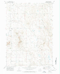
1971 · Hilight
USGS Topo · 1:24,000
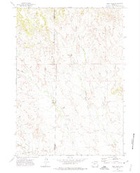
1971 · Buck Creek
USGS Topo · 1:24,000