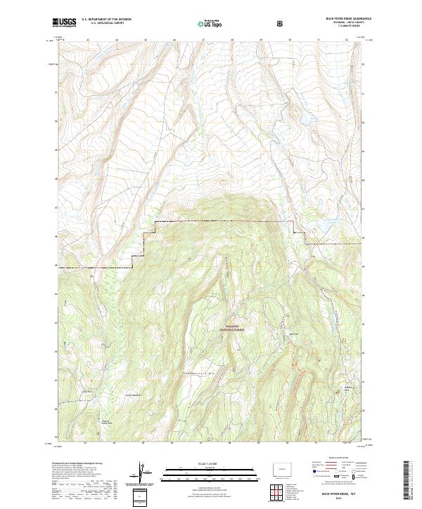
2021 Map of Buck Fever Ridge
USGS Topo · Published 2021About this map
Wasatch National Forest dominates this high-altitude landscape in Uinta County, where the dramatic elevation of Thunderbolt Mtn and the long spine of Buck Fever Ridge define the local topography. This region is characterized by a series of open meadows and high basins, including Jacks Park, Lambs Meadow, and the curiously named Cowboy Cabin Park. These natural clearings among the timber have historically served as crucial markers for stockmen and forest travelers alike.
Find a feature on this map
38 named features on this map. Tap any name to fly to it.
Don’t see what you’re looking for? This feature index may not catch every label — zoom into the map to look around manually.
Map Details
Editions of this 2021 Buck Fever Ridge Map
This is the sole edition of this map. No revisions or reprints were ever made.
Other maps of this area

1885 · Uinta
USGS Topo · 1:250,000

1901 · Hayden Peak
USGS Topo · 1:125,000

1903 · Hayden Peak
USGS Topo · 1:125,000

1905 · Gilbert Peak
USGS Topo · 1:125,000

1906 · Gilbert Peak
USGS Topo · 1:125,000

1954 · Salt Lake City
USGS Topo · 1:250,000

1954 · Ogden
USGS Topo · 1:250,000

1958 · Ogden
USGS Topo · 1:250,000

1958 · Salt Lake City
USGS Topo · 1:250,000

1960 · Ogden
USGS Topo · 1:250,000