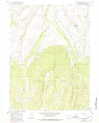
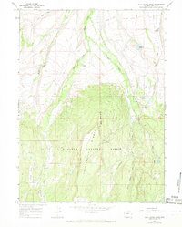
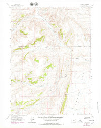
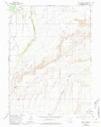
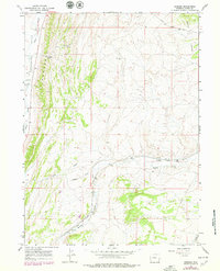
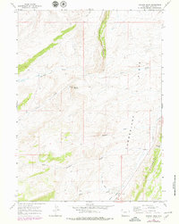
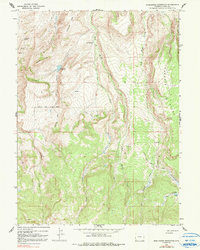
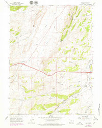
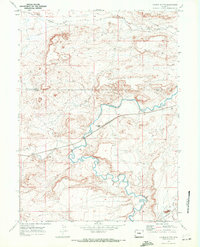
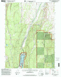
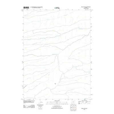
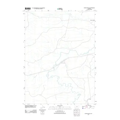
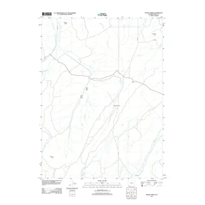
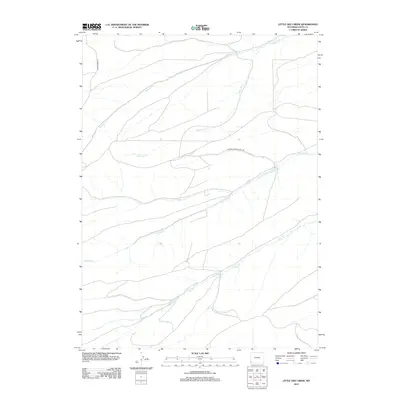
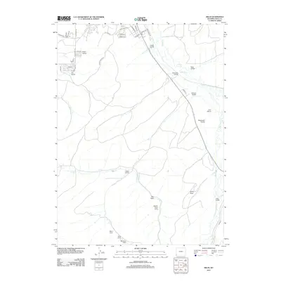
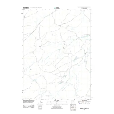
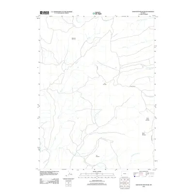
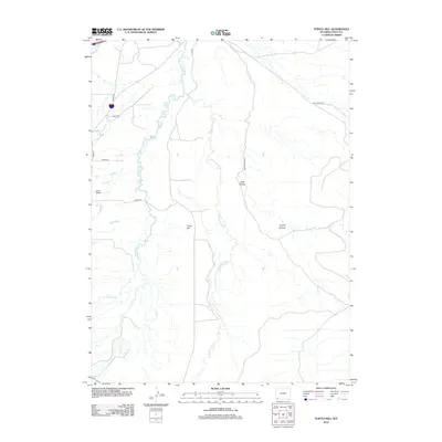
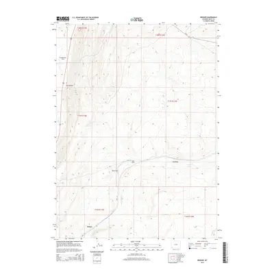
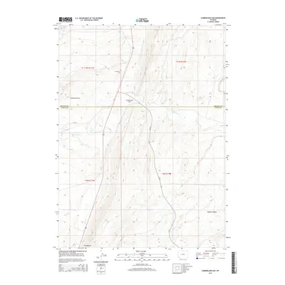
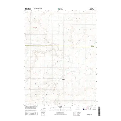
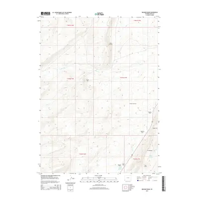
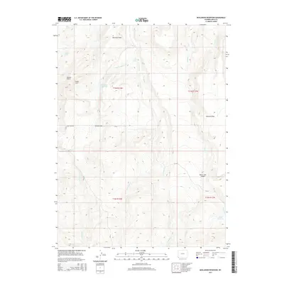
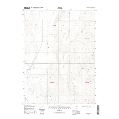
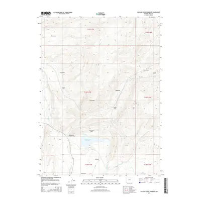
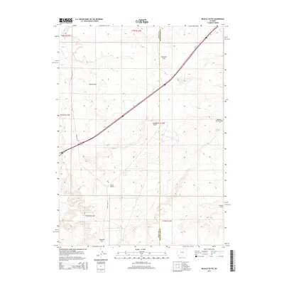
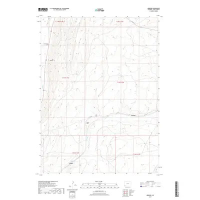
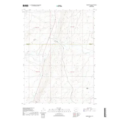
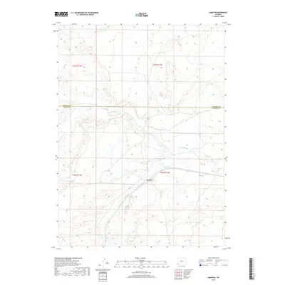
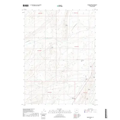
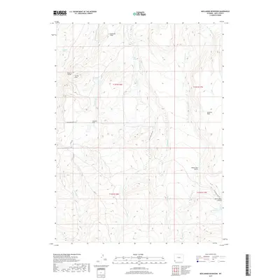
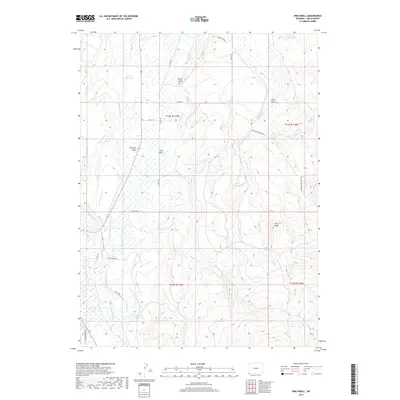
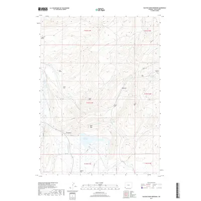
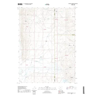
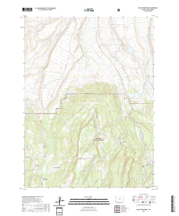
1964 Map of Buck Fever Ridge
USGS Topo · Published 1979About this map
Wasatch National Forest dominates this high-elevation landscape in Uinta County, where the topography is defined by the prominent central spine of Buck Fever Ridge and the peak of Thunderbolt Mountain. This 1960s-era survey reveals an environment primarily used for ranching and water management, evidenced by the scattered network of irrigation infrastructure like Botero Ditch, Murray Ditch, and Graham Reservoir No 1.
Find a feature on this map
30 named features on this map. Tap any name to fly to it.
Don’t see what you’re looking for? This feature index may not catch every label — zoom into the map to look around manually.
Map Details
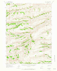
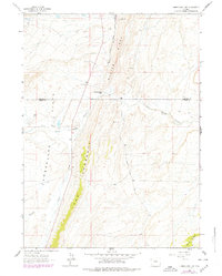
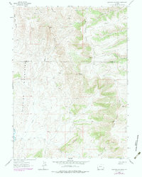
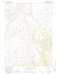
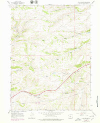
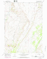
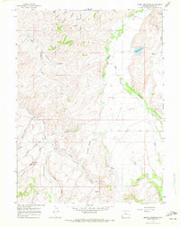
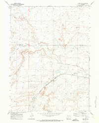
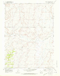
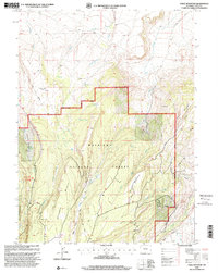
Editions of this 1964 Buck Fever Ridge Map
2 editions found
Historical Maps of Uinta County Through Time
163 maps found
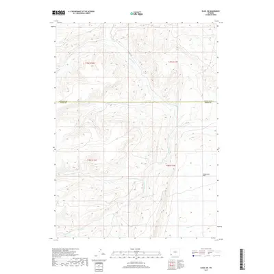
1962 Bell Butte
Uinta County, WY
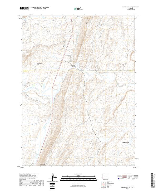
1962 Cumberland Gap
Uinta County, WY
1962 Elkol SW
Uinta County, WY
1962 Sawtooth Mountain
Uinta County, WY
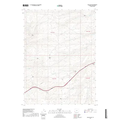
1964 Austin Reservoir
Uinta County, WY
1964 Buck Fever Ridge
Uinta County, WY
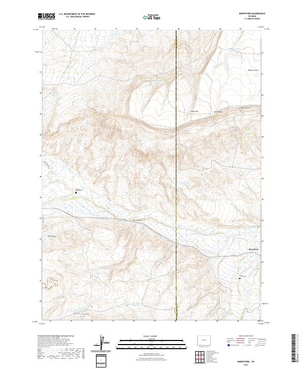
1964 Burntfork
Uinta County, WY
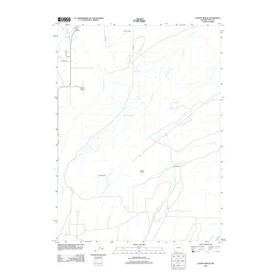
1964 Leavitt Bench
Uinta County, WY
1964 Reed Reservoir
Uinta County, WY
1964 Table Mountain
Uinta County, WY
1964 Wildcat Butte
Uinta County, WY
1965 Bridger
Uinta County, WY
1965 Guild Hollow
Uinta County, WY
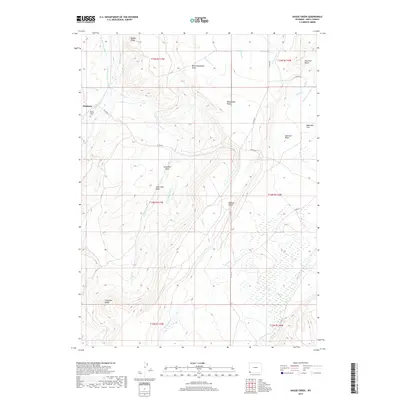
1965 Hague Creek
Uinta County, WY

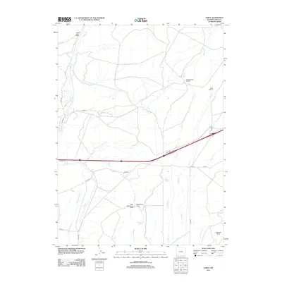
1965 Leroy
Uinta County, WY
1965 Little Dee Creek
Uinta County, WY
1965 Meadow Draw
Uinta County, WY
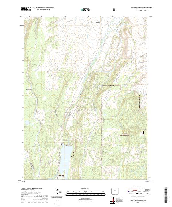
1965 Meeks Cabin Reservoir
Uinta County, WY
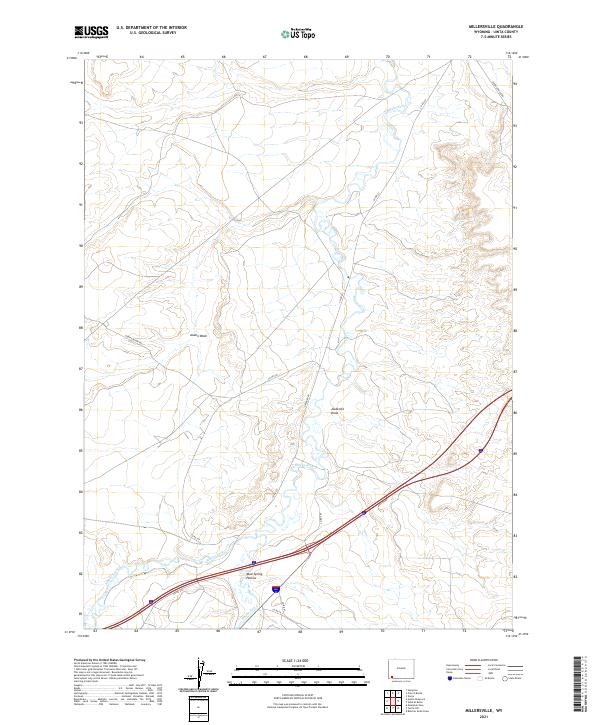
1965 Millersville
Uinta County, WY
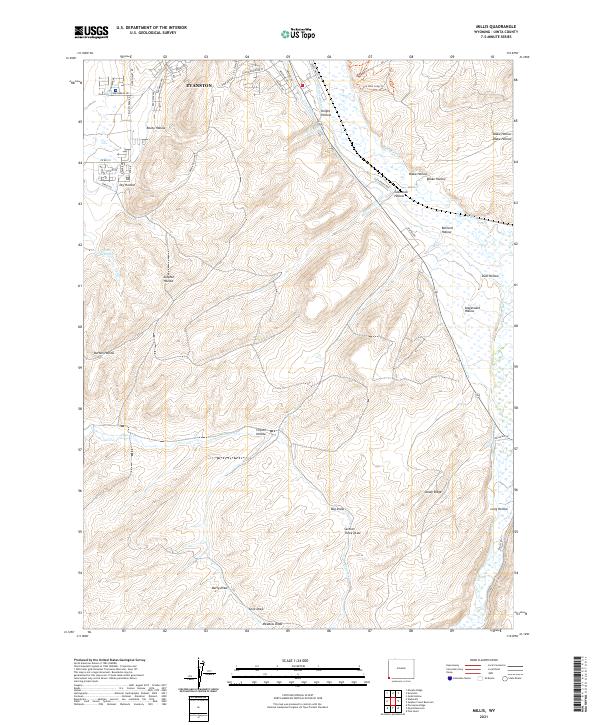
1965 Millis
Uinta County, WY
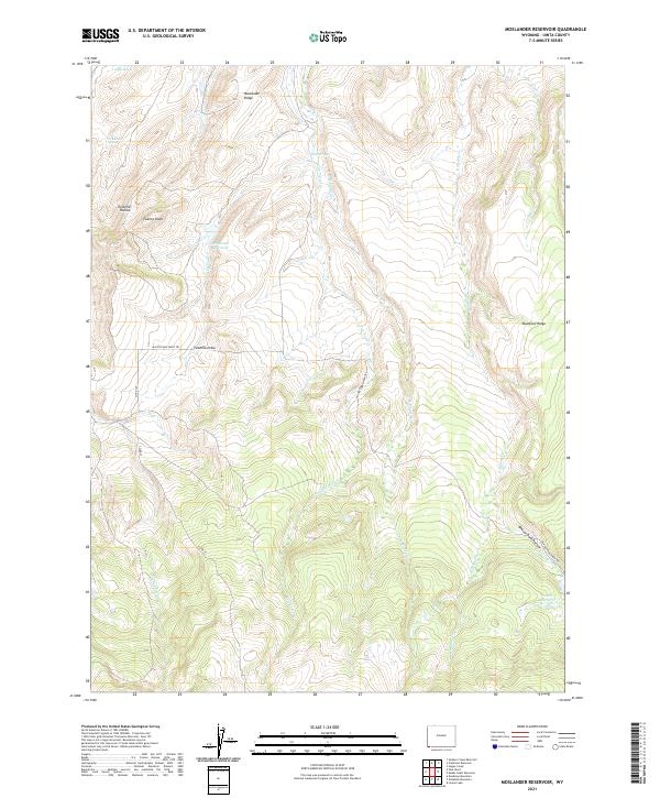
1965 Moslander Reservoir
Uinta County, WY
1965 Myers Reservoir
Uinta County, WY
1965 Piedmont Reservoir
Uinta County, WY
1965 Pine Knoll
Uinta County, WY
1965 Ragan
Uinta County, WY
1965 Sulphur Creek Reservoir
Uinta County, WY
1965 Three Forks
Uinta County, WY
1965 Turtle Hill
Uinta County, WY
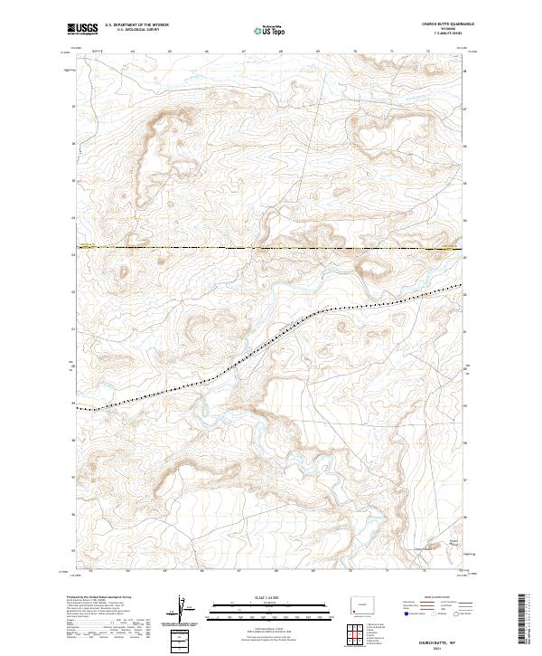
1969 Church Butte
Uinta County, WY
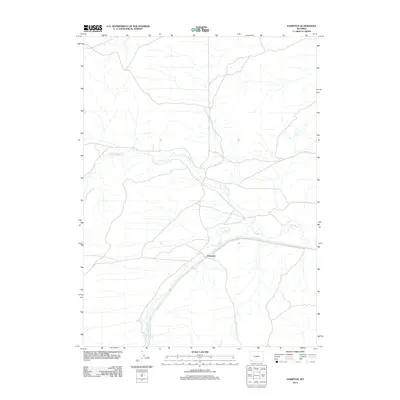
1969 Hampton
Uinta County, WY
1969 Mulkay Spring
Uinta County, WY
1998 Buck Fever Ridge
Uinta County, WY
1998 Meeks Cabin Reservoir
Uinta County, WY
1998 Table Mountain
Uinta County, WY
2011 Woodruff Narrows
Uinta County, WY
2012 Austin Reservoir
Uinta County, WY
2012 Bell Butte
Uinta County, WY
2012 Bridger
Uinta County, WY
2012 Buck Fever Ridge
Uinta County, WY
2012 Burntfork
Uinta County, WY
2012 Church Butte
Uinta County, WY
2012 Cumberland Gap
Uinta County, WY
2012 Elkol SW
Uinta County, WY
2012 Guild Hollow
Uinta County, WY
2012 Hague Creek
Uinta County, WY
2012 Hampton
Uinta County, WY
2012 Leavitt Bench
Uinta County, WY
2012 Leroy
Uinta County, WY
2012 Little Dee Creek
Uinta County, WY
2012 Meadow Draw
Uinta County, WY
2012 Meeks Cabin Reservoir
Uinta County, WY
2012 Millersville
Uinta County, WY
2012 Millis
Uinta County, WY
2012 Moslander Reservoir
Uinta County, WY
2012 Mulkay Spring
Uinta County, WY
2012 Myers Reservoir
Uinta County, WY
2012 Piedmont Reservoir
Uinta County, WY
2012 Pine Knoll
Uinta County, WY
2012 Ragan
Uinta County, WY
2012 Reed Reservoir
Uinta County, WY
2012 Sawtooth Mountain
Uinta County, WY
2012 Sulphur Creek Reservoir
Uinta County, WY
2012 Table Mountain
Uinta County, WY
2012 Three Forks
Uinta County, WY
2012 Turtle Hill
Uinta County, WY

2012 Wildcat Butte
Uinta County, WY
2012 Woodruff Narrows
Uinta County, WY
2015 Austin Reservoir
Uinta County, WY
2015 Bell Butte
Uinta County, WY
2015 Bridger
Uinta County, WY
2015 Buck Fever Ridge
Uinta County, WY
2015 Burntfork
Uinta County, WY
2015 Church Butte
Uinta County, WY
2015 Cumberland Gap
Uinta County, WY
2015 Elkol SW
Uinta County, WY
2015 Guild Hollow
Uinta County, WY
2015 Hague Creek
Uinta County, WY
2015 Hampton
Uinta County, WY
2015 Leavitt Bench
Uinta County, WY
2015 Leroy
Uinta County, WY
2015 Little Dee Creek
Uinta County, WY
2015 Meadow Draw
Uinta County, WY
2015 Meeks Cabin Reservoir
Uinta County, WY
2015 Millersville
Uinta County, WY
2015 Millis
Uinta County, WY
2015 Moslander Reservoir
Uinta County, WY
2015 Mulkay Spring
Uinta County, WY
2015 Myers Reservoir
Uinta County, WY
2015 Piedmont Reservoir
Uinta County, WY
2015 Pine Knoll
Uinta County, WY
2015 Ragan
Uinta County, WY
2015 Reed Reservoir
Uinta County, WY
2015 Sawtooth Mountain
Uinta County, WY
2015 Sulphur Creek Reservoir
Uinta County, WY
2015 Table Mountain
Uinta County, WY
2015 Three Forks
Uinta County, WY
2015 Turtle Hill
Uinta County, WY
2015 Wildcat Butte
Uinta County, WY
2015 Woodruff Narrows
Uinta County, WY
2017 Austin Reservoir
Uinta County, WY
2017 Bell Butte
Uinta County, WY
2017 Bridger
Uinta County, WY
2017 Buck Fever Ridge
Uinta County, WY
2017 Burntfork
Uinta County, WY
2017 Church Butte
Uinta County, WY
2017 Cumberland Gap
Uinta County, WY
2017 Elkol SW
Uinta County, WY
2017 Guild Hollow
Uinta County, WY
2017 Hague Creek
Uinta County, WY
2017 Hampton
Uinta County, WY
2017 Leavitt Bench
Uinta County, WY
2017 Leroy
Uinta County, WY
2017 Little Dee Creek
Uinta County, WY
2017 Meadow Draw
Uinta County, WY
2017 Meeks Cabin Reservoir
Uinta County, WY
2017 Millersville
Uinta County, WY
2017 Millis
Uinta County, WY
2017 Moslander Reservoir
Uinta County, WY
2017 Mulkay Spring
Uinta County, WY
2017 Myers Reservoir
Uinta County, WY
2017 Piedmont Reservoir
Uinta County, WY
2017 Pine Knoll
Uinta County, WY
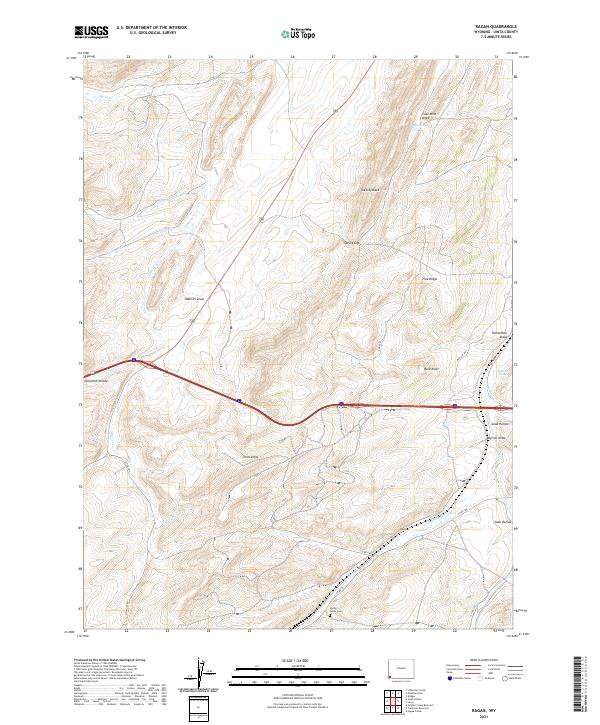
2017 Ragan
Uinta County, WY
2017 Reed Reservoir
Uinta County, WY
2017 Sawtooth Mountain
Uinta County, WY
2017 Sulphur Creek Reservoir
Uinta County, WY
2017 Table Mountain
Uinta County, WY
2017 Three Forks
Uinta County, WY
2017 Turtle Hill
Uinta County, WY

2017 Wildcat Butte
Uinta County, WY
2018 Woodruff Narrows
Uinta County, WY
2021 Austin Reservoir
Uinta County, WY
2021 Bell Butte
Uinta County, WY
2021 Bridger
Uinta County, WY
2021 Buck Fever Ridge
Uinta County, WY
2021 Burntfork
Uinta County, WY
2021 Church Butte
Uinta County, WY
2021 Cumberland Gap
Uinta County, WY
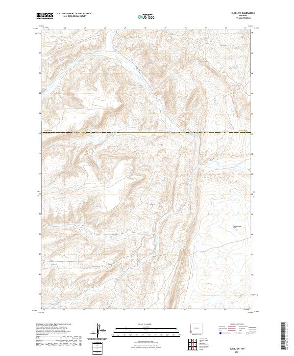
2021 Elkol SW
Uinta County, WY
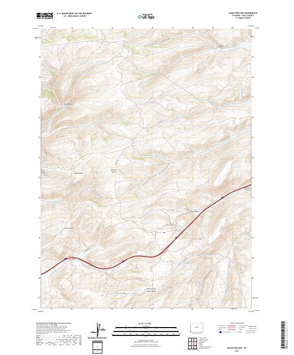
2021 Guild Hollow
Uinta County, WY
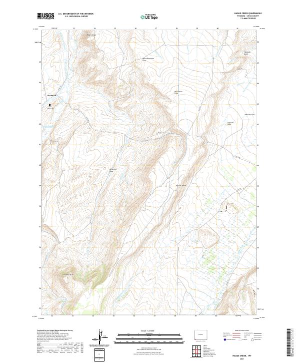
2021 Hague Creek
Uinta County, WY
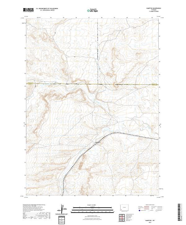
2021 Hampton
Uinta County, WY
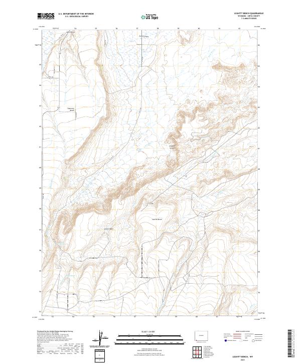
2021 Leavitt Bench
Uinta County, WY
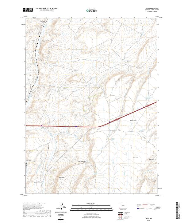
2021 Leroy
Uinta County, WY
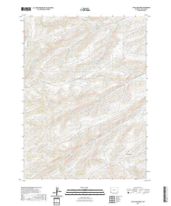
2021 Little Dee Creek
Uinta County, WY
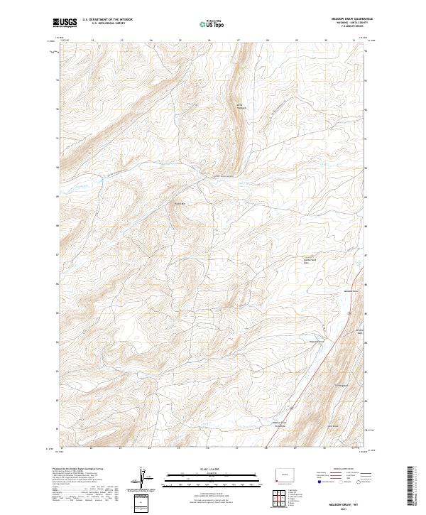
2021 Meadow Draw
Uinta County, WY
2021 Meeks Cabin Reservoir
Uinta County, WY
2021 Millersville
Uinta County, WY
2021 Millis
Uinta County, WY
2021 Moslander Reservoir
Uinta County, WY
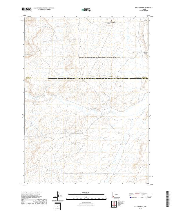
2021 Mulkay Spring
Uinta County, WY
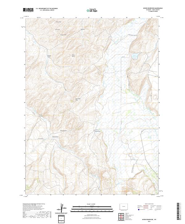
2021 Myers Reservoir
Uinta County, WY
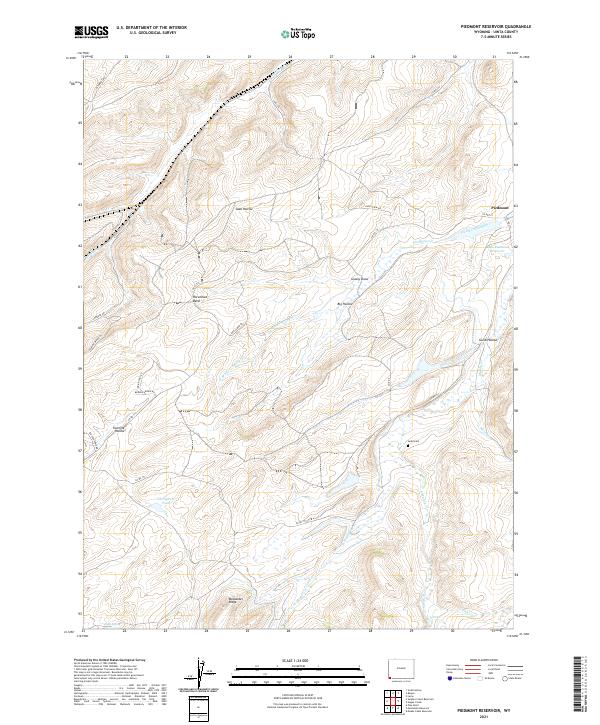
2021 Piedmont Reservoir
Uinta County, WY
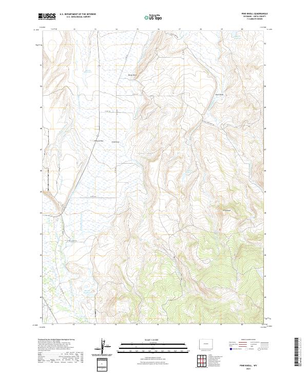
2021 Pine Knoll
Uinta County, WY
2021 Ragan
Uinta County, WY
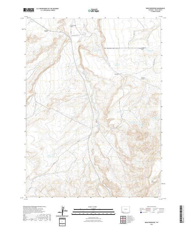
2021 Reed Reservoir
Uinta County, WY
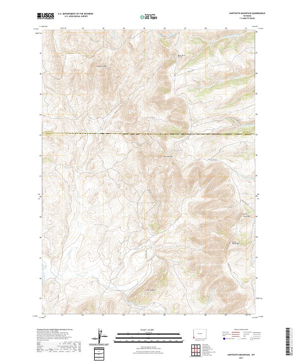
2021 Sawtooth Mountain
Uinta County, WY
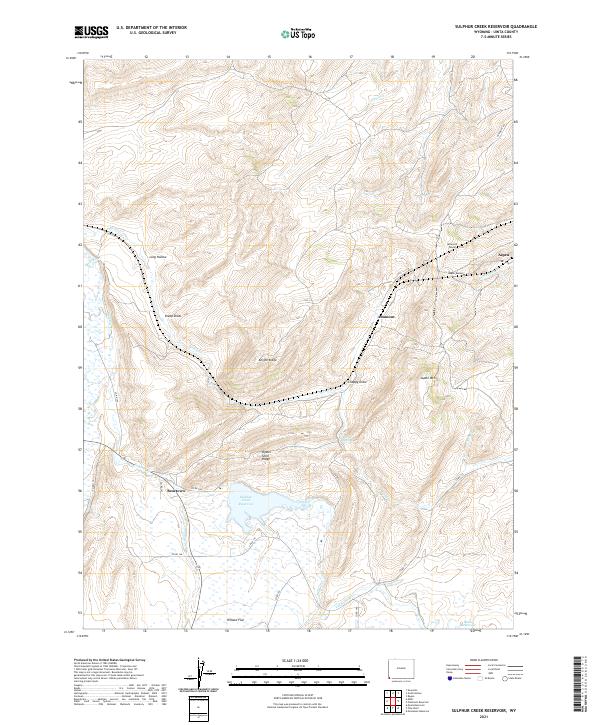
2021 Sulphur Creek Reservoir
Uinta County, WY
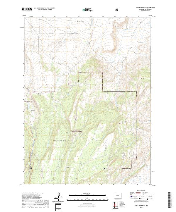
2021 Table Mountain
Uinta County, WY
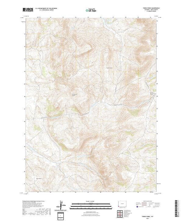
2021 Three Forks
Uinta County, WY
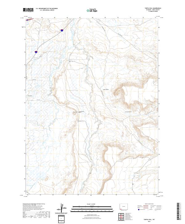
2021 Turtle Hill
Uinta County, WY
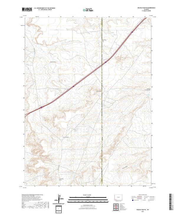
2021 Wildcat Butte
Uinta County, WY
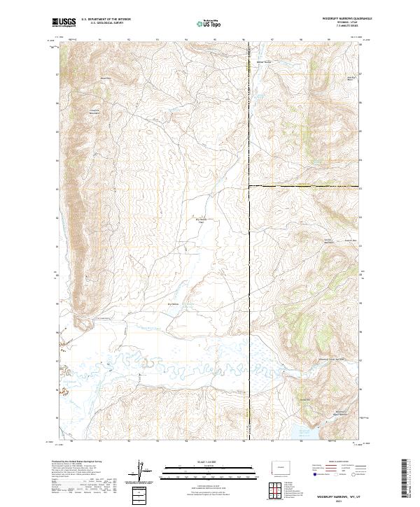
2021 Woodruff Narrows
Uinta County, WY