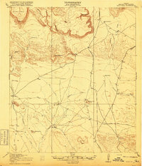
1918 Map of Buck Hill
USGS Topo · Published 1918About this map
Kokernot Ranch and 02 Ranch anchor this West Texas cattle country survey, where the geography of Brewster County is defined by its vital water sources and sprawling landholdings. In this arid landscape, life centered on reliable springs and man-made infrastructure like Brush Windmill and Cobas Windmill. The movement of people and livestock is traced through routes leading towards Alpine, Marathon, and Terlingua, often following the winding paths of Calamity Creek and Terlingua Creek.
Find a feature on this map
50 named features on this map. Tap any name to fly to it.
Don’t see what you’re looking for? This feature index may not catch every label — zoom into the map to look around manually.
Map Details
Editions of this 1918 Buck Hill Map
This is the sole edition of this map. No revisions or reprints were ever made.
Other maps of this area
1895 · Alpine
USGS Topo · 1:125,000
1917 · Agua Fria
USGS Topo · 1:62,500
1917 · Tascotal Mesa
USGS Topo · 1:62,500
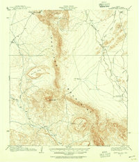
1917 · Santiago Peak
USGS Topo · 1:62,500
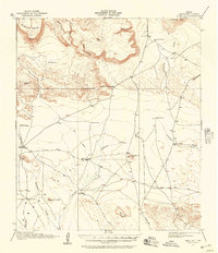
1917 · Buck Hill
USGS Topo · 1:62,500
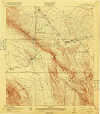
1918 · Bone Spring
USGS Topo · 1:125,000
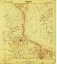
1918 · Santiago Peak
USGS Topo · 1:62,500
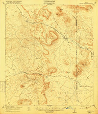
1918 · Jordan Gap
USGS Topo · 1:62,500
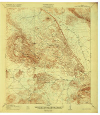
1918 · Nine Point Mesa
USGS Topo · 1:62,500
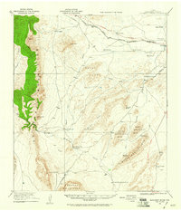
1920 · Monument Spring
USGS Topo · 1:62,500