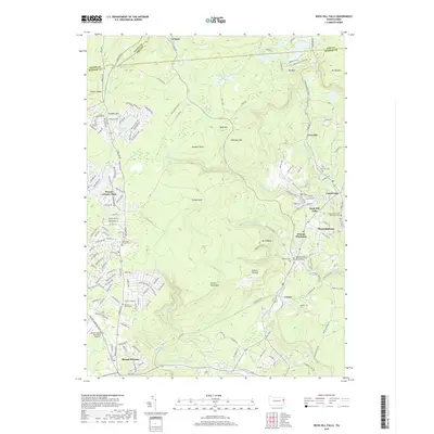
2019 Map of Buck Hill Falls
USGS Topo · Published 2019About this map
Pocono Playhouse and the community of Mountainhome serve as a cultural and geographic center for this region of the Poconos in 2019. The landscape is defined by the sharp descent of the Pocono Plateau, where Buck Hill Creek and Middle Branch Brodhead Creek cut through the terrain. This topography creates the namesake Buck Hill Falls and other water features like The Devils Hole.
Find a feature on this map
71 named features on this map. Tap any name to fly to it.
Don’t see what you’re looking for? This feature index may not catch every label — zoom into the map to look around manually.
Map Details
Editions of this 2019 Buck Hill Falls Map
This is the sole edition of this map. No revisions or reprints were ever made.
Other maps of this area

1919 · Pocono
USGS Topo · 1:62,500

1921 · Pocono
USGS Topo · 1:62,500

1923 · Pocono
USGS Topo · 1:62,500

1924 · Bushkill
USGS Topo · 1:48,000

1928 · Ariel
USGS Topo · 1:62,500

1932 · Ariel
USGS Topo · 1:62,500

1935 · Hawley
USGS Topo · 1:62,500

1938 · Hawley
USGS Topo · 1:62,500

1943 · Bushkill
USGS Topo · 1:62,500

1943 · Pocono
USGS Topo · 1:62,500
Featured Places
- Greene Township, PA
- Barrett Township, PA
- Dreher Township, PA
- Lake in the Clouds West, Greene Township
- Buck Hill Falls, Mountainhome