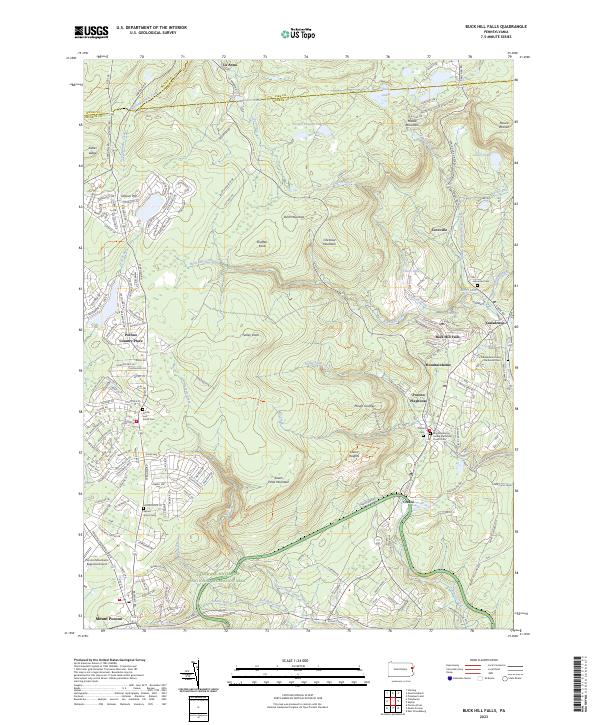
2023 Map of Buck Hill Falls
USGS Topo · Published 2023About this map
Highland streams and resort communities define this portion of Monroe County, where the southern boundary of the Delaware Water Gap National Recreation Area meets the commercial and residential hubs of Mount Pocono and Cresco. The landscape is a network of ridges and narrow valleys, carved by Buck Hill Creek and Devils Hole Creek. This area has long served as a seasonal destination, evidenced by the central location of the Pocono Playhouse and the dense clustering of vacation homes in Pocono Country Place.
Find a feature on this map
172 named features on this map. Tap any name to fly to it.
Don’t see what you’re looking for? This feature index may not catch every label — zoom into the map to look around manually.
Map Details
Editions of this 2023 Buck Hill Falls Map
This is the sole edition of this map. No revisions or reprints were ever made.
Other maps of this area

1919 · Pocono
USGS Topo · 1:62,500

1921 · Pocono
USGS Topo · 1:62,500

1923 · Pocono
USGS Topo · 1:62,500

1924 · Bushkill
USGS Topo · 1:48,000

1928 · Ariel
USGS Topo · 1:62,500

1932 · Ariel
USGS Topo · 1:62,500

1935 · Hawley
USGS Topo · 1:62,500

1938 · Hawley
USGS Topo · 1:62,500

1943 · Bushkill
USGS Topo · 1:62,500

1943 · Pocono
USGS Topo · 1:62,500
Featured Places
- Greene Township, PA
- Lehigh Township, PA
- Barrett Township, PA
- Dreher Township, PA
- Canadensis, Barrett Township