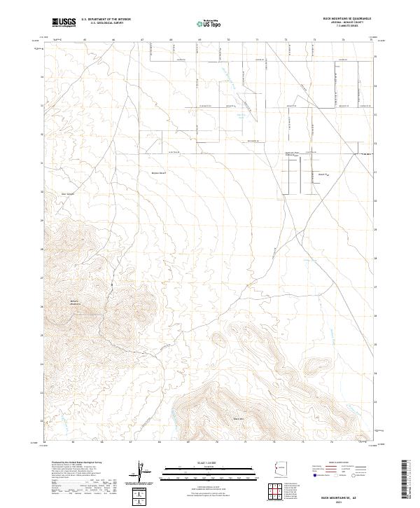
2021 Map of Buck Mountains SE
USGS Topo · Published 2021About this map
The Mohave Mountains rise in the southwestern portion of this map, giving way to the wide expanse of Dutch Flat and the Mojave Desert. This arid landscape is defined by its complex drainage network, where the Buck Mountain Wash and Mohave Wash carve seasonal paths toward the lower basins. The presence of Shot Up Tank and Lower Tank highlights the critical importance of water management in this desert environment.
Find a feature on this map
41 named features on this map. Tap any name to fly to it.
Don’t see what you’re looking for? This feature index may not catch every label — zoom into the map to look around manually.
Map Details
Editions of this 2021 Buck Mountains SE Map
This is the sole edition of this map. No revisions or reprints were ever made.
Other maps of this area

1911 · Parker
USGS Topo · 1:125,000

1923 · Signal
USGS Topo · 1:250,000

1927 · Buck Mountains
USGS Topo · 1:62,500

1929 · Buck Mountains
USGS Topo · 1:62,500

1942 · Signal
USGS Topo · 1:250,000

1943 · Giers Basin
USGS Topo · 1:62,500

1950 · Prescott
USGS Topo · 1:250,000

1954 · Needles
USGS Topo · 1:250,000

1954 · Prescott
USGS Topo · 1:250,000

1956 · Needles
USGS Topo · 1:250,000