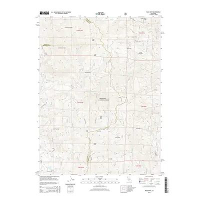
2015 Map of Buck Rock
USGS Topo · Published 2015About this map
Mendocino National Forest encompasses this high-elevation terrain along the borders of Tehama, Trinity, and Mendocino counties. The landscape is defined by a series of prominent ridges, including Hammerhorn Ridge, Croney Ridge, and Slanes Flat Ridge, which separate various creek drainages such as Thomes Creek and Beaver Creek. High-country water sources are scattered throughout the quadrangle, ranging from Elk Lake in the northeast to Howard Lake and Cherry Lake in the southwest.
Find a feature on this map
90 named features on this map. Tap any name to fly to it.
Don’t see what you’re looking for? This feature index may not catch every label — zoom into the map to look around manually.
Map Details
Editions of this 2015 Buck Rock Map
This is the sole edition of this map. No revisions or reprints were ever made.
Other maps of this area

1890 · Red Bluff
USGS Topo · 1:250,000

1894 · Red Bluff
USGS Topo · 1:250,000

1926 · Covelo
USGS Topo · 1:62,500

1931 · Hoaglin
USGS Topo · 1:96,000

1935 · Hoaglin
USGS Topo · 1:125,000

1952 · Covelo
USGS Topo · 1:62,500

1952 · Anthony Peak
USGS Topo · 1:62,500

1953 · Blackrock Mtn
USGS Topo · 1:62,500

1954 · Blackrock Mtn
USGS Topo · 1:62,500

1954 · Yolla Bolly
USGS Topo · 1:62,500