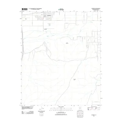
2011 Map of Buckeye
USGS Topo · Published 2011About this map
The Buckeye settlement dominates the northern edge of this 2011 survey, showing a structured grid of streets including the Buckeye Post Office and nearby Pierce Airport. Just south of the main town site, the residential pocket of Allenville sits north of the wide, braided corridor of the Gila River. The landscape transitions from the irrigated agricultural and residential flats of the Salt River Valley into the more arid stretches of Rainbow Valley and the rising prominence of Eagle Mountain to the south.
Find a feature on this map
35 named features on this map. Tap any name to fly to it.
Don’t see what you’re looking for? This feature index may not catch every label — zoom into the map to look around manually.
Map Details
Editions of this 2011 Buckeye Map
This is the sole edition of this map. No revisions or reprints were ever made.
Other maps of this area
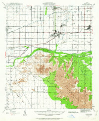
1946 · Avondale
USGS Topo · 1:62,500
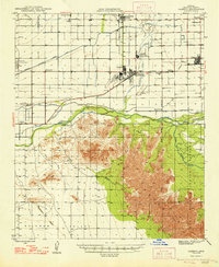
1948 · Cashion
USGS Topo · 1:62,500
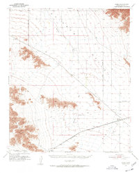
1951 · Mobile
USGS Topo · 1:62,500
1951 · Cotton Center
USGS Topo · 1:62,500
1954 · Phoenix
USGS Topo · 1:250,000
1957 · Phoenix
USGS Topo · 1:250,000
1957 · Valencia
USGS Topo · 1:24,000
1957 · Perryville
USGS Topo · 1:24,000
1957 · Avondale SW
USGS Topo · 1:24,000
1958 · Phoenix
USGS Topo · 1:250,000