
2014 Map of Buckeye
USGS Topo · Published 2014About this map
Buckeye and the nearby settlement of Allenville sit within the fertile Buckeye Valley, a landscape defined by the complex water management systems of the Salt River Valley's western edge. The Gila River meanders across the center of the map, flanked by vital irrigation works including the Buckeye Canal, Arlington Canal, and S Extension Canal. These man-made waterways emphasize the transition from the organized agricultural grid of the valley floor to the desert terrain of the Buckeye Hills. To the south, the elevation rises toward Eagle Mtn, providing a natural barrier between the central valley and the expansive reaches of Rainbow Valley and Little Rainbow Valley. The presence of Pierce Airport near the northern border reflects the region's long-standing connection to local aviation and transportation networks.
Find a feature on this map
53 named features on this map. Tap any name to fly to it.
Don’t see what you’re looking for? This feature index may not catch every label — zoom into the map to look around manually.
Map Details
Editions of this 2014 Buckeye Map
This is the sole edition of this map. No revisions or reprints were ever made.
Other maps of this area
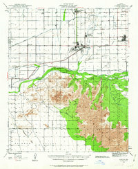
1946 · Avondale
USGS Topo · 1:62,500
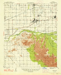
1948 · Cashion
USGS Topo · 1:62,500
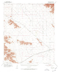
1951 · Mobile
USGS Topo · 1:62,500
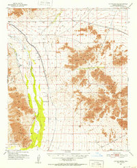
1951 · Cotton Center
USGS Topo · 1:62,500
1954 · Phoenix
USGS Topo · 1:250,000
1957 · Phoenix
USGS Topo · 1:250,000
1957 · Valencia
USGS Topo · 1:24,000
1957 · Perryville
USGS Topo · 1:24,000
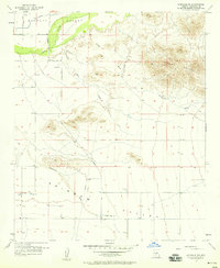
1957 · Avondale SW
USGS Topo · 1:24,000
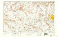
1958 · Phoenix
USGS Topo · 1:250,000