
2018 Map of Buckeye
USGS Topo · Published 2018About this map
Allenville sits just north of the Gila River, marking a point of established settlement amidst the agricultural expansion of the Buckeye Valley. The landscape is defined by the vital irrigation network of the Buckeye Canal, Arlington Canal, and S Extension Canal, which transform this arid region into productive land. South of the river, the terrain rises sharply into the Buckeye Hills, where Eagle Mtn stands as a prominent landmark. This 2018 survey illustrates the complex relationship between the desert floor and the managed water systems that support the area. Beyond the hills, the terrain levels out again into the broad expanses of Rainbow Valley and Little Rainbow Valley, showing the geographic diversity of the Maricopa County interior. The Farm Ag Airport in the northwest quadrant further highlights the intersection of modern aviation and the region's deep-rooted ranching and farming heritage.
Find a feature on this map
70 named features on this map. Tap any name to fly to it.
Don’t see what you’re looking for? This feature index may not catch every label — zoom into the map to look around manually.
Map Details
Editions of this 2018 Buckeye Map
This is the sole edition of this map. No revisions or reprints were ever made.
Other maps of this area
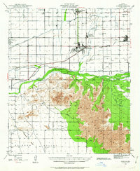
1946 · Avondale
USGS Topo · 1:62,500
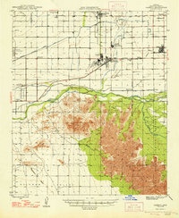
1948 · Cashion
USGS Topo · 1:62,500
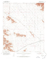
1951 · Mobile
USGS Topo · 1:62,500
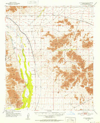
1951 · Cotton Center
USGS Topo · 1:62,500
1954 · Phoenix
USGS Topo · 1:250,000
1957 · Phoenix
USGS Topo · 1:250,000
1957 · Valencia
USGS Topo · 1:24,000
1957 · Perryville
USGS Topo · 1:24,000
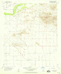
1957 · Avondale SW
USGS Topo · 1:24,000
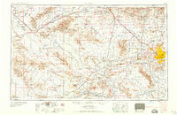
1958 · Phoenix
USGS Topo · 1:250,000