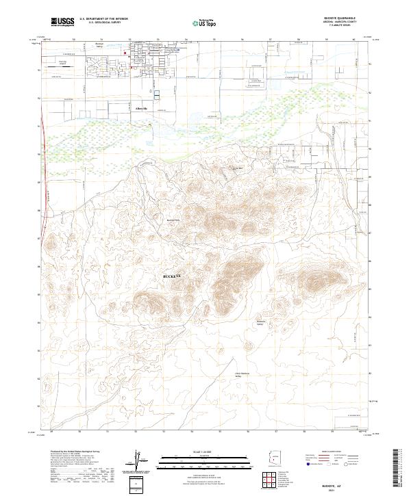
2021 Map of Buckeye
USGS Topo · Published 2021About this map
Buckeye Hills and Eagle Mtn dominate the central landscape of this Maricopa County area, creating a stark physical divide between the agricultural northern basin and the expansive desert valleys to the south. The northern reach is defined by the fertile Buckeye Valley, where the Gila River is accompanied by an intricate network of irrigation infrastructure, including the Buckeye Canal, Arlington Canal, and S Extension Canal.
Find a feature on this map
74 named features on this map. Tap any name to fly to it.
Don’t see what you’re looking for? This feature index may not catch every label — zoom into the map to look around manually.
Map Details
Editions of this 2021 Buckeye Map
This is the sole edition of this map. No revisions or reprints were ever made.
Other maps of this area

1946 · Avondale
USGS Topo · 1:62,500

1948 · Cashion
USGS Topo · 1:62,500

1951 · Mobile
USGS Topo · 1:62,500

1951 · Cotton Center
USGS Topo · 1:62,500

1954 · Phoenix
USGS Topo · 1:250,000

1957 · Phoenix
USGS Topo · 1:250,000

1957 · Valencia
USGS Topo · 1:24,000

1957 · Perryville
USGS Topo · 1:24,000

1957 · Avondale SW
USGS Topo · 1:24,000

1958 · Phoenix
USGS Topo · 1:250,000