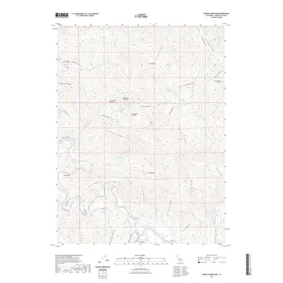
2021 Map of Buckeye Mountain
USGS Topo · Published 2021About this map
The Mattole River and its complex network of tributaries define this part of Humboldt County, where the landscape is marked by prominent high ground such as Buckeye Mtn and Rainbow Ridge. The map illustrates a region characterized by specialized clearings within the timber, including the Homestead Opening, Cow Pasture Opening, and Wire Fence Opening. These named clearings suggest a history of high-elevation ranching and early settlement patterns along the ridges.
Find a feature on this map
48 named features on this map. Tap any name to fly to it.
Don’t see what you’re looking for? This feature index may not catch every label — zoom into the map to look around manually.
Map Details
Editions of this 2021 Buckeye Mountain Map
This is the sole edition of this map. No revisions or reprints were ever made.
Other maps of this area

1919 · Glynn
USGS Topo · 1:62,500

1920 · Pt. Delagda
USGS Topo · 1:62,500

1921 · Cape Mendocino
USGS Topo · 1:62,500

1926 · Gorda
USGS Topo · 1:62,500

1949 · Eureka
USGS Topo · 1:250,000

1949 · Point Delgada
USGS Topo · 1:62,500

1950 · Cape Mendocino
USGS Topo · 1:62,500

1950 · Scotia
USGS Topo · 1:62,500

1951 · Scotia
USGS Topo · 1:62,500

1951 · Point Delgada
USGS Topo · 1:62,500