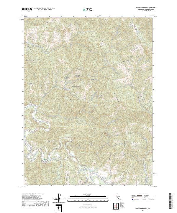
2023 Map of Buckeye Mountain
USGS Topo · Published 2023About this map
Buckeye Mtn dominates this Humboldt County landscape, where the Mattole River and its numerous tributaries like Conklin Creek and Telegraph Creek carve through the coastal range. The area is defined by its series of distinct high-elevation spines, including Rainbow Ridge, Apple Tree Ridge, and Mail Ridge, which historically served as the primary routes for travel and communication through this terrain. Traces of early land use are evident in labels such as Homestead Opening and Cow Pasture Opening, suggesting a history of small-scale agriculture and clearing within the timberlands. Recreational spaces are represented by A W Way Park along the riverbanks, while the intricate network of local routes like Mattole Rd and Conklin Creek Rd connect these isolated ridges to the broader county.
Find a feature on this map
49 named features on this map. Tap any name to fly to it.
Don’t see what you’re looking for? This feature index may not catch every label — zoom into the map to look around manually.
Map Details
Editions of this 2023 Buckeye Mountain Map
This is the sole edition of this map. No revisions or reprints were ever made.
Other maps of this area

1919 · Glynn
USGS Topo · 1:62,500

1920 · Pt. Delagda
USGS Topo · 1:62,500

1921 · Cape Mendocino
USGS Topo · 1:62,500

1926 · Gorda
USGS Topo · 1:62,500

1949 · Eureka
USGS Topo · 1:250,000

1949 · Point Delgada
USGS Topo · 1:62,500

1950 · Cape Mendocino
USGS Topo · 1:62,500

1950 · Scotia
USGS Topo · 1:62,500

1951 · Scotia
USGS Topo · 1:62,500

1951 · Point Delgada
USGS Topo · 1:62,500