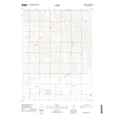
2017 Map of Buckeye Valley
USGS Topo · Published 2017About this map
Buckeye Valley defines the central portion of this Buffalo County landscape, where the open terrain is carved by the winding course of the Wood River. This 2017 survey shows a well-established grid of section-line roads, including the long north-south stretches of Ravenna Rd, Poole Ave, and Imperial Rd. These transit routes connect the valley floor to the surrounding heights, where small drainage systems like Cedar Cr and Sweet Cr feed into the regional watershed. Local water management is evident through the presence of the Randall Reservoir and Rogers Reservoir. Near the southeastern edge of the map, the Riverside Cem sits adjacent to the river, providing a significant touchstone for genealogical research and local history. The land use patterns reflect a classic Nebraska agricultural layout, with named routes like Pole Line Rd marking the boundaries between historic townships.
Find a feature on this map
36 named features on this map. Tap any name to fly to it.
Don’t see what you’re looking for? This feature index may not catch every label — zoom into the map to look around manually.
Map Details
Editions of this 2017 Buckeye Valley Map
This is the sole edition of this map. No revisions or reprints were ever made.
Other maps of this area
1894 · Kearney
USGS Topo · 1:62,500
1894 · Minden
USGS Topo · 1:62,500
1896 · Kearney
USGS Topo · 1:125,000
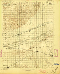
1896 · Wood River
USGS Topo · 1:125,000
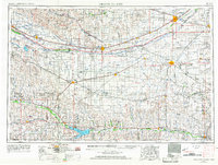
1955 · Grand Island
USGS Topo · 1:250,000
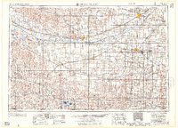
1957 · Grand Island
USGS Topo · 1:250,000
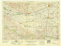
1958 · Grand Island
USGS Topo · 1:250,000
1962 · Newark
USGS Topo · 1:24,000
1962 · Poole NE
USGS Topo · 1:24,000
1962 · Pleasanton SE
USGS Topo · 1:24,000