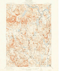
1913 Map of Buckfield
USGS Topo · Published 1913About this map
The Androscoggin River defines the northern reaches of this territory, where the M C R R rail line connects settlements like Gilbertville and Canton Point. This early 20th-century landscape is characterized by a dense network of rural school districts, including the Meadowview Academy and over a dozen neighborhood schoolhouses such as Jones School, Bonney School, and Whiting School. These small institutions highlight the localized nature of community life in Oxford and Androscoggin counties before the advent of consolidated education systems.
Find a feature on this map
164 named features on this map. Tap any name to fly to it.
Don’t see what you’re looking for? This feature index may not catch every label — zoom into the map to look around manually.
Map Details
Editions of this 1913 Buckfield Map
5 editions found
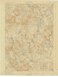
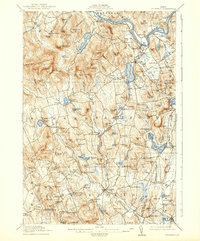
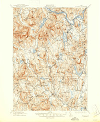
Other maps of this area

1896 · Norway
USGS Topo · 1:62,500

1908 · Poland
USGS Topo · 1:62,500

1908 · Lewiston
USGS Topo · 1:62,500

1910 · Livermore
USGS Topo · 1:62,500

1911 · Bryant Pond
USGS Topo · 1:62,500

1911 · Buckfield
USGS Topo · 1:62,500

1912 · Livermore
USGS Topo · 1:62,500

1913 · Buckfield
USGS Topo · 1:62,500

1914 · Bryant Pond
USGS Topo · 1:62,500

1924 · Farmington
USGS Topo · 1:62,500