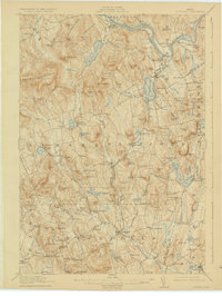
1913 Map of Buckfield
USGS Topo · Published 1924About this map
Buckfield and the surrounding townships in Oxford and Androscoggin counties define this early twentieth-century landscape, characterized by a dense network of district schools and rural post offices. The Androscoggin River curves through the northeast, supporting the rail-dependent economies of Canton and Gilbertville along the M C R R. Further south, the Nezinscot River and its various branches provide the drainage for a region marked by numerous named heights, including Poland Mtn and Bear Mtn.
Find a feature on this map
175 named features on this map. Tap any name to fly to it.
Don’t see what you’re looking for? This feature index may not catch every label — zoom into the map to look around manually.
Map Details
Editions of this 1913 Buckfield Map
5 editions found
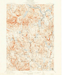
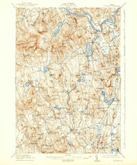
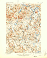
Other maps of this area

1896 · Norway
USGS Topo · 1:62,500

1908 · Poland
USGS Topo · 1:62,500

1908 · Lewiston
USGS Topo · 1:62,500

1910 · Livermore
USGS Topo · 1:62,500

1911 · Bryant Pond
USGS Topo · 1:62,500

1911 · Buckfield
USGS Topo · 1:62,500

1912 · Livermore
USGS Topo · 1:62,500

1913 · Buckfield
USGS Topo · 1:62,500

1914 · Bryant Pond
USGS Topo · 1:62,500

1924 · Farmington
USGS Topo · 1:62,500