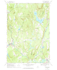
1967 Map of Buckfield
USGS Topo · Published 1969About this map
The Nezinscot River serves as the hydrological anchor for this 1967 survey of western Maine, where the East Branch and West Branch converge near the town of Buckfield. The landscape is defined by its transition from the steep elevations of Bear Mountain and Mt Oxford down to the agricultural Plains of Turner. The settlement pattern follows the drainage of Bog Brook and Martin Stream, connecting smaller villages like East Sumner and Hartford.
Find a feature on this map
64 named features on this map. Tap any name to fly to it.
Don’t see what you’re looking for? This feature index may not catch every label — zoom into the map to look around manually.
Map Details
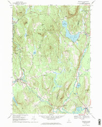
Editions of this 1967 Buckfield Map
2 editions found
Other maps of this area

1908 · Poland
USGS Topo · 1:62,500

1908 · Lewiston
USGS Topo · 1:62,500

1910 · Livermore
USGS Topo · 1:62,500

1911 · Buckfield
USGS Topo · 1:62,500

1912 · Livermore
USGS Topo · 1:62,500

1913 · Buckfield
USGS Topo · 1:62,500

1940 · Poland
USGS Topo · 1:62,500

1941 · Livermore
USGS Topo · 1:62,500

1942 · Lewiston
USGS Topo · 1:62,500

1942 · Buckfield
USGS Topo · 1:62,500