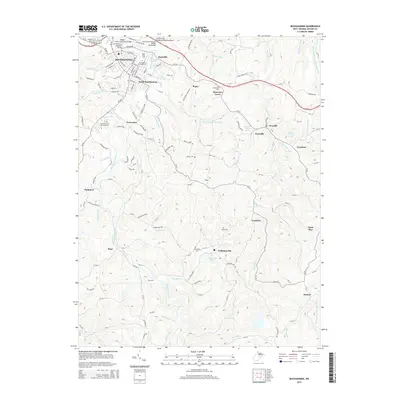
2014 Map of Buckhannon
USGS Topo · Published 2014About this map
Buckhannon serves as the focal point of this region where the Buckhannon River winds through the hills of Upshur County. The town is marked by its established infrastructure, featuring the campus of W Virginia Wesleyan Coll and numerous dedicated crossings like the Trooper J.D. Dave Harr Bridge. Beyond the main settlement, smaller communities such as South Buckhannon, Deanville, and Tennerton indicate a pattern of residential expansion along the river valley and primary road corridors.
Find a feature on this map
104 named features on this map. Tap any name to fly to it.
Don’t see what you’re looking for? This feature index may not catch every label — zoom into the map to look around manually.
Map Details
Editions of this 2014 Buckhannon Map
This is the sole edition of this map. No revisions or reprints were ever made.
Other maps of this area

1893 · Buckhannon
USGS Topo · 1:125,000

1896 · Buckhannon
USGS Topo · 1:125,000

1897 · Buckhannon
USGS Topo · 1:125,000

1904 · Philippi
USGS Topo · 1:62,500

1904 · Weston
USGS Topo · 1:62,500

1912 · Sago
USGS Topo · 1:48,000

1912 · Crawford
USGS Topo · 1:48,000

1914 · Sago
USGS Topo · 1:62,500

1914 · Crawford
USGS Topo · 1:62,500

1925 · Philippi
USGS Topo · 1:62,500