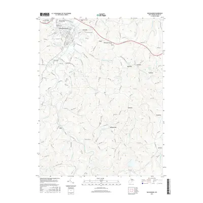
2016 Map of Buckhannon
USGS Topo · Published 2016About this map
W Virginia Wesleyan Coll anchors the northern landscape of this region, situated where Jawbone Run and Fink Run meet the Buckhannon River. The river's winding path serves as a central artery for several communities, including Tennerton, Sago, and Tallmansville, where the geography transitions from the developed campus environment to a more dissected terrain of ridges and springs. Numerous water sources such as Tallmansville Spring and Holly Inn Spring dot the landscape, indicating the natural hydrology that influenced local settlement patterns before modern infrastructure took over.
Find a feature on this map
61 named features on this map. Tap any name to fly to it.
Don’t see what you’re looking for? This feature index may not catch every label — zoom into the map to look around manually.
Map Details
Editions of this 2016 Buckhannon Map
This is the sole edition of this map. No revisions or reprints were ever made.
Other maps of this area

1893 · Buckhannon
USGS Topo · 1:125,000

1896 · Buckhannon
USGS Topo · 1:125,000

1897 · Buckhannon
USGS Topo · 1:125,000

1904 · Philippi
USGS Topo · 1:62,500

1904 · Weston
USGS Topo · 1:62,500

1912 · Sago
USGS Topo · 1:48,000

1912 · Crawford
USGS Topo · 1:48,000

1914 · Sago
USGS Topo · 1:62,500

1914 · Crawford
USGS Topo · 1:62,500

1925 · Philippi
USGS Topo · 1:62,500