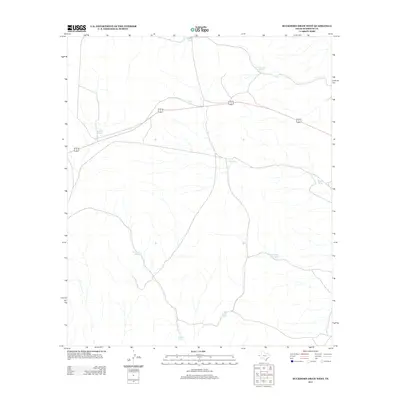
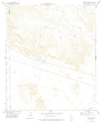
2012 Map of Buckhorn Draw West
USGS Topo · Published 2012About this map
Water management dominates this arid stretch of Hudspeth County, where a network of catchment basins known as tanks supports ranching operations in the Chihuahuan Desert. The landscape is defined by its drainage patterns and the strategic placement of these artificial ponds, including Viejo Tank, Colorado Tank, and the grouped Panther Tanks. These features, alongside the uniquely named Pescado Tank and Maide Tank, highlight the critical importance of water infrastructure in a region with no permanent natural surface water. Cutting across this rugged terrain is the combined route of 62 180, providing the primary east-west corridor through the high desert. The distribution of these water sources, such as Beard Number Two Tank and Tony Number One Tank, offers a practical look at the grazing boundaries and resource needs of West Texas landholdings during the early twenty-first century.
Find a feature on this map
11 named features on this map. Tap any name to fly to it.
Don’t see what you’re looking for? This feature index may not catch every label — zoom into the map to look around manually.
Map Details
Editions of this 2012 Buckhorn Draw West Map
This is the sole edition of this map. No revisions or reprints were ever made.
Other maps of this area
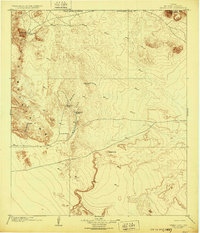
1903 · Cerro Alto
USGS Topo · 1:125,000
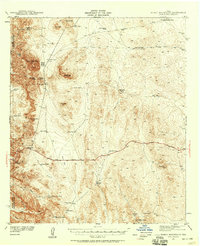
1941 · Heuco Mountains
USGS Topo · 1:62,500
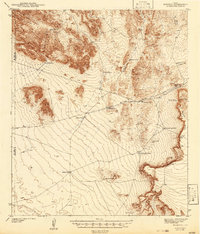
1942 · Borrego
USGS Topo · 1:62,500
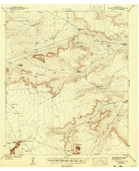
1943 · Tepee Butte
USGS Topo · 1:62,500
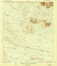
1943 · San Antonio Mtn
USGS Topo · 1:62,500
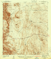
1943 · Heuco Mountains
USGS Topo · 1:62,500

1954 · Van Horn
USGS Topo · 1:250,000

1958 · Van Horn
USGS Topo · 1:250,000
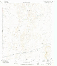
1978 · Wildhorse Draw
USGS Topo · 1:24,000
1978 · Padre Canyon
USGS Topo · 1:24,000