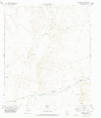
1978 Map of Wildhorse Draw
USGS Topo · Published 1978About this map
Wildhorse Draw and Borrego Draw define the topography of this arid Hudspeth County landscape as it appeared in the late 1970s. This region is characterized by an extensive network of water management features essential for ranching or land use in the West Texas desert, including Shakespeare Tanks, Antelope Tank, and the appropriately named Rattlesnake Tank. The small settlement at Coyote Place and the presence of a Drill Hole and multiple Pipeline corridors suggest a landscape shaped by both traditional grazing and modern resource extraction. A Radio Tower stands near Peacock Canyon in the southeast, while various private tracks and fence lines crisscross the terrain, marking the boundaries of remote desert parcels. The map provides a clear record of the specific locations of family-named or descriptive water tanks like Peacock Tank and Monroe Tank that were vital landmarks for navigation and survival.
Find a feature on this map
19 named features on this map. Tap any name to fly to it.
Don’t see what you’re looking for? This feature index may not catch every label — zoom into the map to look around manually.
Map Details
Editions of this 1978 Wildhorse Draw Map
This is the sole edition of this map. No revisions or reprints were ever made.
Other maps of this area

1903 · Cerro Alto
USGS Topo · 1:125,000

1941 · Heuco Mountains
USGS Topo · 1:62,500

1942 · Borrego
USGS Topo · 1:62,500

1943 · Tepee Butte
USGS Topo · 1:62,500

1943 · San Antonio Mtn
USGS Topo · 1:62,500

1943 · Heuco Mountains
USGS Topo · 1:62,500

1954 · Van Horn
USGS Topo · 1:250,000

1958 · Van Horn
USGS Topo · 1:250,000
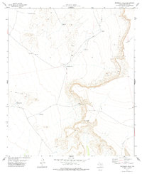
1977 · Whiterock Hills
USGS Topo · 1:24,000
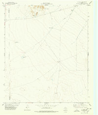
1978 · T P Well
USGS Topo · 1:24,000