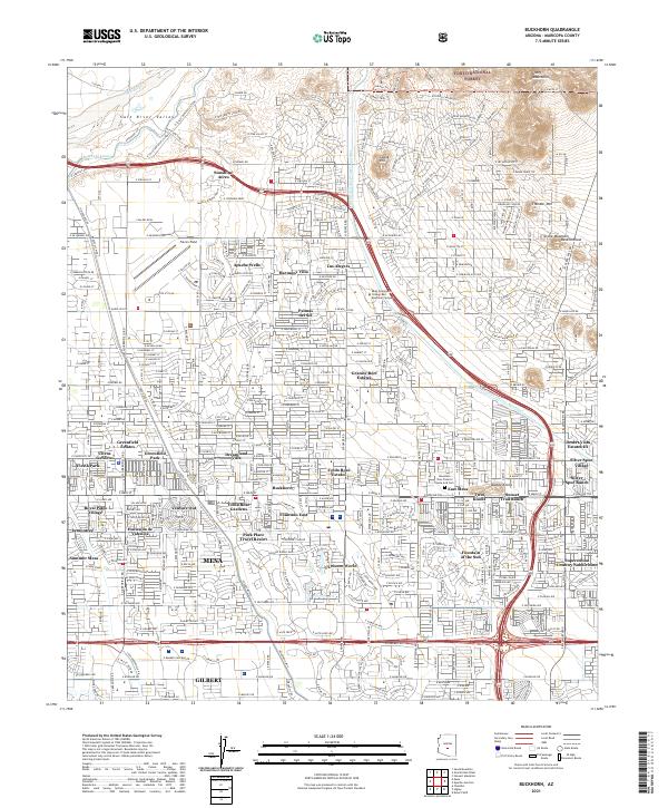
2021 Map of Buckhorn
USGS Topo · Published 2021About this map
Falcon Field and the surrounding suburban developments of eastern Mesa anchor this modern landscape at the edge of the Salt River Valley. The map illustrates an intricate network of residential enclaves and retirement communities, including Dreamland Villa, Leisure World, and Venture Out, which are interwoven with the irrigation and water transport infrastructure of the Southern Canal and the Central Arizona Project Aqueduct. To the northeast, the desert terrain rises toward the Usery Mountains and the boundary of the Tonto National Forest, where landmarks like Spook Hill and Stone Mountain stand in contrast to the dense residential grid. This survey captures the specialized land use of the region, from the educational hub at Mesa Community College Red Mountain Campus to the namesake settlement of Buckhorn.
Find a feature on this map
138 named features on this map. Tap any name to fly to it.
Don’t see what you’re looking for? This feature index may not catch every label — zoom into the map to look around manually.
Map Details
Editions of this 2021 Buckhorn Map
This is the sole edition of this map. No revisions or reprints were ever made.
Other maps of this area

1904 · Camelback
USGS Topo · 1:62,500

1904 · Desert Well
USGS Topo · 1:62,500

1904 · Ft. McDowell
USGS Topo · 1:62,500

1906 · Camelsback
USGS Topo · 1:62,500

1906 · Ft. McDowell
USGS Topo · 1:62,500

1906 · Desert Well
USGS Topo · 1:62,500

1913 · Mesa
USGS Topo · 1:62,500

1915 · Mesa
USGS Topo · 1:62,500

1930 · Cave Creek
USGS Topo · 1:125,000

1939 · Cave Creek
USGS Topo · 1:125,000