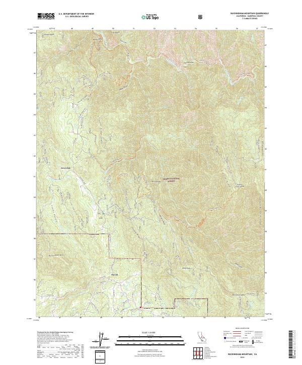
2021 Map of Buckingham Mountain
USGS Topo · Published 2021About this map
The South Fork Merced River carves through the northern reaches of this Sierra Nevada landscape, where the Sierra National Forest meets the historic foothill settlements of Jerseydale and Darrah. The terrain is defined by prominent elevations like Buckingham Mtn and the long stretch of Portuguese Ridge, a region where timber and mining history left a clear mark on the land. Evidence of early industrial activity remains through labels like the Comet Mine and Standard Mill, along with numerous routes such as the Hite Cove OHV Route and Savage Lundy Trl that trace the steep gulches.
Find a feature on this map
78 named features on this map. Tap any name to fly to it.
Don’t see what you’re looking for? This feature index may not catch every label — zoom into the map to look around manually.
Map Details
Editions of this 2021 Buckingham Mountain Map
This is the sole edition of this map. No revisions or reprints were ever made.
Other maps of this area

1897 · Yosemite
USGS Topo · 1:125,000

1900 · Yosemite
USGS Topo · 1:125,000

1903 · Yosemite
USGS Topo · 1:125,000

1909 · Yosemite
USGS Topo · 1:125,000

1912 · Mariposa
USGS Topo · 1:125,000

1947 · Mariposa
USGS Topo · 1:24,000

1947 · El Portal
USGS Topo · 1:24,000

1947 · Mariposa
USGS Topo · 1:250,000

1947 · El Portal
USGS Topo · 1:62,500

1947 · Mariposa
USGS Topo · 1:62,500