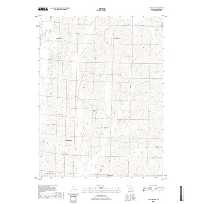
2017 Map of Bucklin NW
USGS Topo · Published 2017About this map
Johnstown anchors the southwestern portion of this Linn County landscape, where the headwaters of the Grand River system carve a dense network of drainage through northern Missouri. The terrain is defined by the branching paths of E Yellow Cr and W Yellow Cr, separated by a system of country roads that follow the high ridges. This map captures a rural environment where family and community history are preserved in several well-distributed burial grounds, including the Pleasant Grove Baptist Cem and Pulliam Cem. The drainage pattern is particularly intricate along Winigan Cr, which is fed by numerous tributaries such as Sam Br and Hamilton Br. The presence of Baker Cem, Baugher Cem, and Wyant Cem suggests the locations of former pioneer homesteads and early church congregations that established the township's layout long before modern surveying.
Find a feature on this map
54 named features on this map. Tap any name to fly to it.
Don’t see what you’re looking for? This feature index may not catch every label — zoom into the map to look around manually.
Map Details
Editions of this 2017 Bucklin NW Map
This is the sole edition of this map. No revisions or reprints were ever made.
Other maps of this area

1946 · Brookfield
USGS Topo · 1:62,500

1948 · Brookfield
USGS Topo · 1:62,500

1949 · Bucklin
USGS Topo · 1:24,000

1949 · Bucklin NW
USGS Topo · 1:24,000

1950 · Bucklin
USGS Topo · 1:24,000

1950 · New Cambria West
USGS Topo · 1:24,000

1950 · Bucklin NW
USGS Topo · 1:24,000

1951 · New Boston
USGS Topo · 1:24,000

1953 · Moberly
USGS Topo · 1:250,000

1954 · Centerville
USGS Topo · 1:250,000